Morning on the Riverwalk
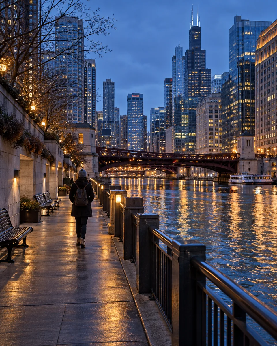
myAudience · AI-generated original illustration · Original AI-generated illustration; not documentary evidence; no third-party artwork reproduced.
The Chicago Riverwalk changes the scale of downtown. At street level, traffic, crossings and tall facades compete for attention; beside the water, the underside of a bridge and the edge of a quay become much more noticeable. The river is also a working piece of infrastructure, not simply a scenic backdrop. Looking from below helps reveal how transport, buildings and public space share a limited corridor.
Read the route as a sequence of places rather than one uninterrupted pavement. A wider edge allows people to stop, while a narrower passage moves them along. Steps can act as seating as well as circulation, and changes in height can separate a gathering place from a through route. These are useful questions to ask of any waterfront: where can someone pause, where must they keep moving, and whose access is easiest?
For a short visit, choose one section and draw a tiny map with three observations: a crossing above you, a place to sit and a view across the water. Compare the apparent size of a building at street level with its reflection. A reflection can break a straight facade into moving fragments, showing how the same architecture is perceived differently when the surface beneath it changes. No special equipment is needed.
Before setting out, check the city’s current access information and consider weather, daylight and the route back to street level. Our morning scene invents light, people and details; it cannot establish today’s conditions or provide an accessibility audit. The real value of the exercise is to notice decisions in a public place, then ask whether its walking, resting and crossing spaces serve different people well.
Image: illustration, not a documentary photograph.