A blue curve from orbit
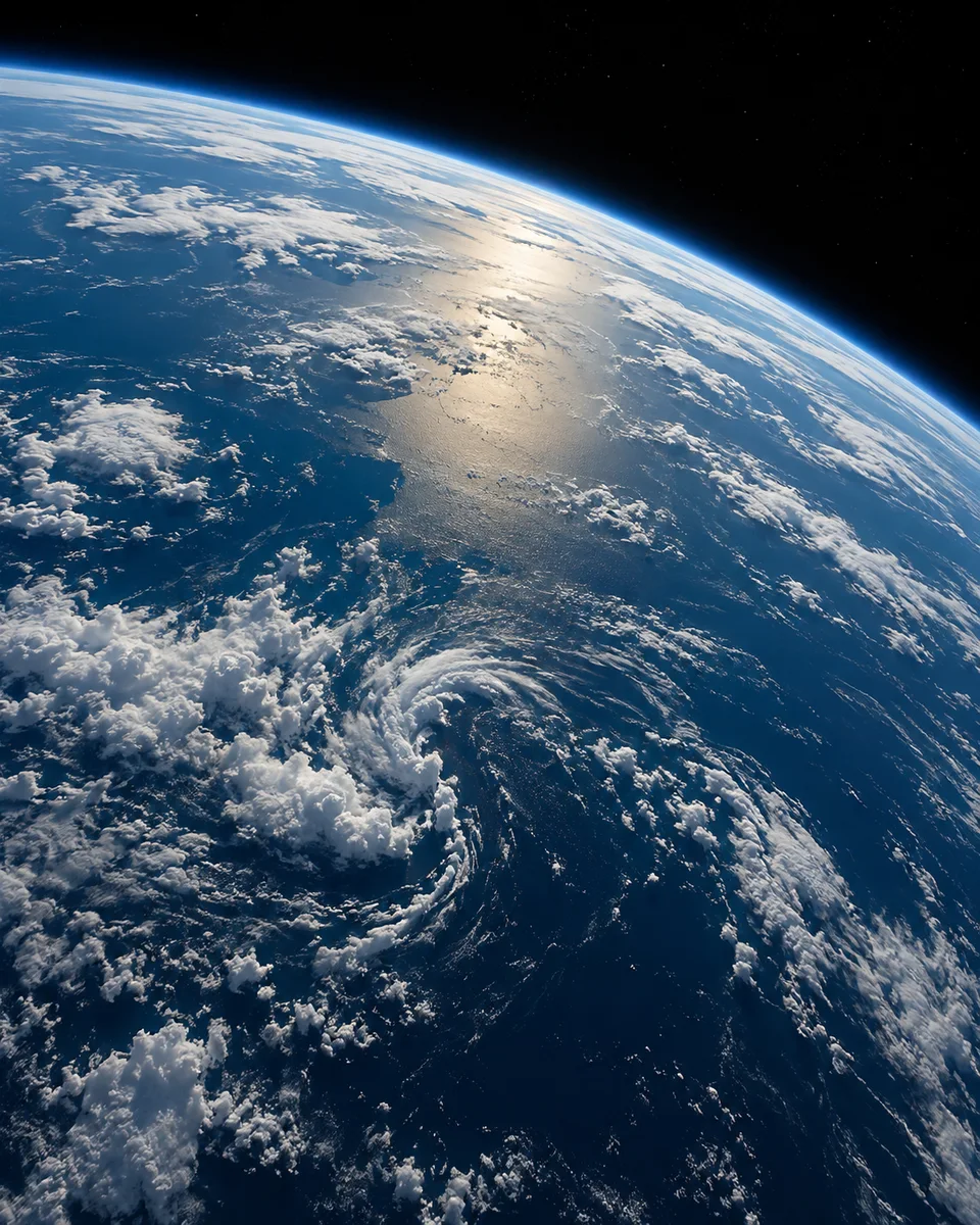
myAudience · AI-generated original illustration · Original AI-generated illustration; not documentary evidence; no third-party artwork reproduced.
Earth’s curved edge brings together several layers of a planetary scene: a solid surface, moving weather and the thin-looking atmospheric limb. The geometry depends on viewpoint, while colours depend on illumination, instrument and processing. An attractive blue arc is not enough to identify a spacecraft’s altitude, a continent or the date of an observation. Those require accompanying information.
Remote sensing turns observations into evidence by measuring particular kinds of light or other signals. A visible image can show a cloud pattern, while another instrument may be used to investigate quantities that are not directly visible. A single picture also samples a moment; it cannot establish a long-term climate trend by itself. Time series, calibration and a clear definition of the measured variable matter.
Choose one identified image in NASA’s library and read its description before enlarging it. Record the mission or photographer, date and location if provided. Then separate visible features from interpretations: a white patch may be a cloud, but an explanation of its height or composition needs more than its brightness. If comparing two images, ask whether viewpoint, scale and processing are comparable before attributing every difference to Earth changing.
Our orbital scene is generated artwork rather than a satellite measurement of present weather. Its usefulness is to introduce a way of looking: appreciate the whole planet, then inspect the record behind a particular scientific claim. A credited observational image can support a discussion of a named event. This invented horizon cannot, and keeping that boundary clear helps avoid turning an inspiring illustration into misleading evidence.
Image: illustration, not a documentary photograph.