A river bends across a plain
By Our changing Earth · myAudience
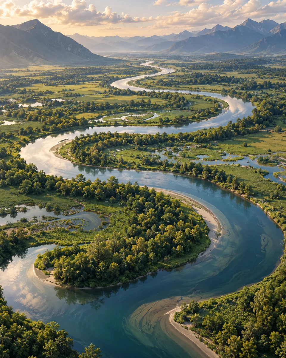
myAudience · AI-generated original illustration · Original AI-generated illustration; not documentary evidence; no third-party artwork reproduced.
A meander is a bend in a river channel. Flow around a bend can distribute velocity and erosion unevenly. In a common simplified model, faster flow near the outer bank favors erosion, while slower conditions toward the inner bank favor deposition, helping the bend change shape over time.
This is a process model, not a guarantee about every point in a real channel. Bed shape, vegetation, flood stage and local obstacles influence the current. Erosion removes material from one place and transport carries it onward; deposition occurs where conditions allow some transported material to settle.
As a bend develops, its neck can become narrower. A later channel cut-off may leave a separated curved water body, often described as an oxbow lake. The sequence needs evidence across time; one overhead picture does not show the entire history or tell you exactly when a cut-off occurred.
Worked measurement: a channel path between two points is 6.0 km long, while the straight-line separation is 4.0 km. Their ratio is 6.0/4.0 = 1.5. This describes the measured path relative to a direct route; it does not give the water’s speed. Check: can the longer path alone determine how long a parcel of water takes? No; travel time also depends on flow speed and conditions.
The aerial scene is generated art, not a flood-risk map, property boundary or live river observation. Compare dated maps or surveyed positions when investigating migration. State whether a conclusion comes from a simplified mechanism, a measured channel change or a feature visible in a single image.
Image: illustration, not a documentary photograph.