The plaza between the temples
By Maya cities and living heritage · myAudience
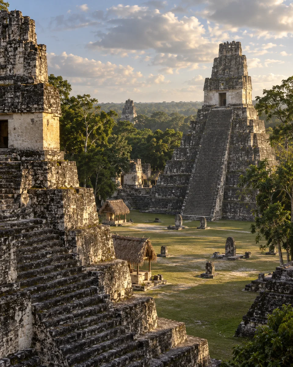
myAudience · AI-generated original illustration · Original AI-generated illustration; not documentary evidence; no third-party artwork reproduced.
Tikal was a major Maya city in the lowlands of present-day Guatemala. Its temples and plazas survive within a forested World Heritage property, but the modern landscape is not a direct view of every earlier stage of occupation. The city developed over time; it should not be pictured as one unchanging arrangement occupied by one uniform population.
Monumental construction used substantial platforms and masonry, with limestone an important local material. Preparing lime-based mortar and plaster required heat as well as stone, so the finished architecture depended on fuel, tools and repeated work. A tall temple was therefore connected to a wider landscape of materials and labor rather than being an isolated achievement.
A plaza organized the relationship between buildings and people. Open ground made approaches, gatherings and sightlines possible, while surrounding structures marked important places. Surviving plans help establish those relationships more firmly than a reconstructed crowd does. They do not, by themselves, tell us every event that happened in the square or every person permitted to take part.
Our image restores imagined surfaces and activity without claiming a witnessed moment in Tikal. Follow the ground between two buildings, then compare an archaeological plan. Where does an approach narrow, where does a platform change the level and where could a crowd gather? Reading the space between monuments makes the city more intelligible than treating the temples only as separate spectacular objects rising above the trees.
Image: speculative AI reconstruction; uncertain details.