The Inca road: engineering an imperial connection
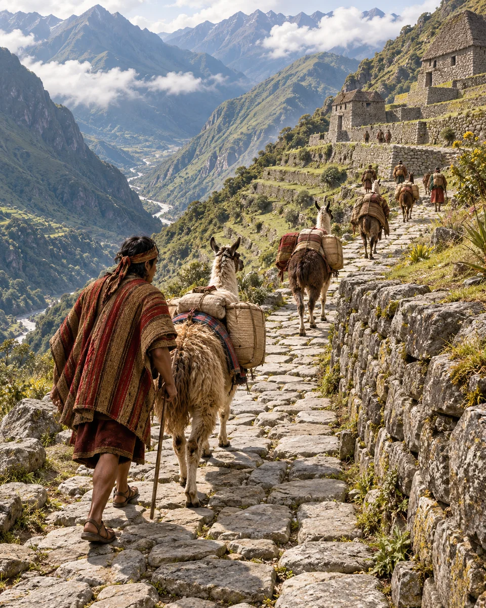
myAudience · AI-generated original illustration · Original generated artwork; not documentary evidence or a grant of landmark/cultural rights. No third-party image reproduced.
The Qhapaq Ñan linked Andean towns and centres of production and worship. Its development drew on older routes and knowledge; the network reached its greatest expansion during the fifteenth-century consolidation of Tawantinsuyu. Starting the story with earlier communities avoids attributing every road segment to a single Inca ruler.
Construction responded to different environments. Stairs, paving, bridges and drainage helped routes cross demanding terrain, while associated buildings supported storage and accommodation. Main routes radiated from Cusco and connected with smaller networks. A road was therefore part of an infrastructure system, rather than only a line connecting points on a modern map.
The same route could connect people while enabling a state to move resources and exercise authority. That is a useful interpretive tension, not a claim that every journey had an identical purpose. Following a segment invites questions about maintenance and local work, which a map of imperial extent alone cannot answer.
Communities continue to safeguard portions of the network and associated knowledge. UNESCO’s account identifies construction features and living connections, but is not a complete history of conquest or the Spanish invasion. This reading focuses on supported road evidence. It does not treat infrastructure as proof of equal treatment or turn a reconstructed journey into an eyewitness account of the past.
Image: speculative AI reconstruction; uncertain details.
Scene: Fifteenth-century Inca Andean road and terraces; travelers and precise road segment interpretive.