Angkor: temples within a working landscape
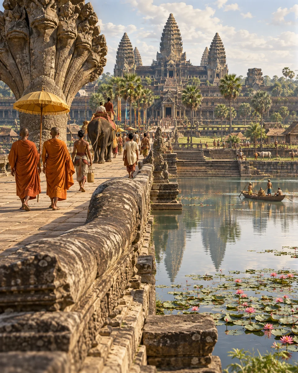
myAudience · AI-generated original illustration · Original generated artwork; not documentary evidence or a grant of landmark/cultural rights. No third-party image reproduced.
Angkor preserves the remains of successive Khmer capitals rather than one city built at a single moment. Angkor Wat and the Bayon are parts of that changing landscape. UNESCO’s account places temples alongside routes, settlements and substantial water infrastructure, making the surrounding territory essential to understanding the monuments.
Reservoirs, canals, embankments and other structures show the scale of hydraulic planning. Temples also reveal distinct urban plans and religious settings. Indian influences were adapted into a recognisable Khmer architectural tradition; influence does not mean that the buildings were simple copies or that all construction followed one unchanged design.
A large reservoir raises questions about engineering, maintenance and the organisation of work. A carved temple raises different questions about patronage and representation. Comparing them prevents stone monuments from becoming the whole history of a society. An impressive finished structure alone cannot tell us the experience or identity of every person who helped sustain it.
Villages and cultivation remain part of the heritage landscape. That continuity challenges an image of Angkor as an entirely empty lost city, without resolving every question about political change. Read a map, an inscription and a building phase separately before combining them. This overview does not assign the end of Angkorian power to one unverified cause.
Image: speculative AI reconstruction; uncertain details.
Scene: Twelfth-century Angkor Wat-inspired causeway and water landscape; interpreted people and details.