Angkor: look beyond the temple silhouette
By Places and their stories · myAudience
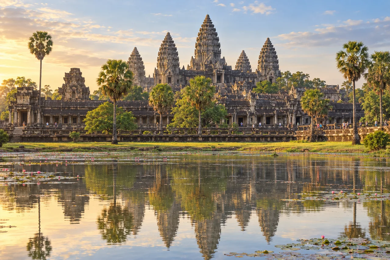
myAudience · original generated illustration · Original generated illustration; interpreted setting, not documentary evidence, current conditions or an authenticated viewpoint.
Angkor is a landscape of successive Khmer capitals, monuments and infrastructure, not another name for one temple. Angkor Wat is a celebrated part of it; Angkor Thom, the Bayon and other complexes belong to different parts of the wider story. UNESCO's account spans centuries of development, so a single picture should not imply that every structure was designed by one ruler at one time.
Water and movement connect the monuments to their surroundings. Reservoirs, canals, embankments and routes help reveal the scale of urban organisation beyond carved galleries. Their archaeological interpretation requires attention to location, levels, dates and relationships. A pool appearing in a foreground is not a complete explanation of a historic water system, nor proof that every water feature had one identical purpose.
The park is also inhabited. UNESCO's account includes villages and agricultural activity within the wider landscape, rather than presenting an empty collection of ancient structures. That changes the questions conservation must ask. How can care for monuments, settlement and land use be considered together? Supporting an inherited landscape requires more than protecting a famous silhouette; it also requires understanding the connections between places and the people who use them.
Our illustration concentrates on a weathered temple silhouette inspired by Angkor Wat. Compare the central tower, surrounding towers and long galleries: how does repetition help a large complex read as an organised whole? That observation is a starting point, not a measurement or a complete religious interpretation. The image does not certify every carved detail or represent all temples, villages and water routes in the archaeological park.
Give both living cultural practices and fragile material remains room. Follow current official site instructions, respect religious activity and avoid touching carving or treating residents as reenactors of an ancient empire. Do not use an attractive illustration to choose an unofficial route or infer access to a structure. The wider landscape deserves a fuller reading than a single famous sunrise view.
Image: illustration, not a documentary photograph.
Further reading
Begin beyond the familiar temple outline. Angkor contains successive urban plans, monuments and infrastructure, so one impressive building cannot stand for every period or function of the landscape. The useful unit of explanation is often a relationship: a route between places, a reservoir beside settlement, or a temple within a wider arrangement. Looking for those connections turns a view of ruins into questions about how a complex inhabited environment was organised.
Different complexes should not be flattened into one ruler's single project. Angkor Wat, the Bayon and other named monuments belong to the wider account, but their distinct histories require distinct evidence. A stylistic resemblance may suggest comparison without establishing a shared date or purpose. To build a reliable sequence, historians and archaeologists bring together inscriptions, plans, construction relationships and dated material. The attraction of an orderly story is no reason to skip the evidence that would actually make it orderly.
Hydraulic structures also need careful interpretation. A basin, dyke, canal or reservoir can affect storage, movement and the control of water, but its shape alone does not prove which use dominated at a particular time. Connections and levels matter: two features near each other may not be connected, while a channel's gradient can alter the possible direction of flow. Our reading introduces these questions; it does not invent a measured water budget or label every historic feature as an irrigation device.
A useful hypothetical investigation compares two explanations for a channel: supplying fields or connecting a storage basin to another feature. A map shows location, but elevation, dating and evidence of connections would help discriminate between the explanations. Even then, multiple uses or changes over time may be possible. Good reasoning does not force every feature into one purpose merely because a simple diagram would be easier to draw. Uncertainty can be described precisely rather than disguised as ignorance or certainty.
The landscape is inhabited, with villages and agriculture included in UNESCO's account. Conservation therefore concerns places where people live as well as monuments admired by visitors. It would be misleading to portray residents as accidental obstacles to an otherwise empty archaeological park. Their knowledge, needs and rights belong in the discussion, alongside the vulnerability of material remains. A proposal can recognise tensions without presuming that one party's interests always override all the others.
The reused illustration concentrates on a temple-inspired silhouette and its foreground reflection. Repeated towers and galleries help the eye recognise an organised composition, but the pool does not explain the landscape's reservoirs or canals. Carvings and tower relationships remain interpreted rather than surveyed. Use the image to ask how repetition and visual hierarchy communicate order; use maps, archaeological records and local expertise to investigate actual infrastructure. The image is a starting point for inquiry, not a replacement for its evidence.
Imagine a fictional conservation budget that can fund either a conspicuous façade repair or documentation of less visible channels affected by new construction. The façade may have urgent structural needs, while the channels could preserve evidence that cannot be recovered once removed. A justified decision would compare condition, reversibility, risk and community effects, rather than choose the most photographed option automatically. It should also acknowledge what the budget cannot resolve. Stating a limitation is more informative than promising to preserve everything.
Transfer task: a tourism caption calls Angkor 'one temple built by one king, with a pond that supplied the whole city'. Give an evidence-led correction. Answer: distinguish the wider landscape and successive developments from the pictured temple; identify the hydraulic network as a subject requiring mapped, dated and connected evidence. The reflection in this generated scene cannot certify historic water supply. A strong corrected account also includes inhabited places and avoids replacing uncertain functions with a neat but unsupported engineering claim. It earns its clarity by separating what the image suggests from what the historical record must establish.