Wadi Rum: a desert with several kinds of history
By Places and their stories · myAudience
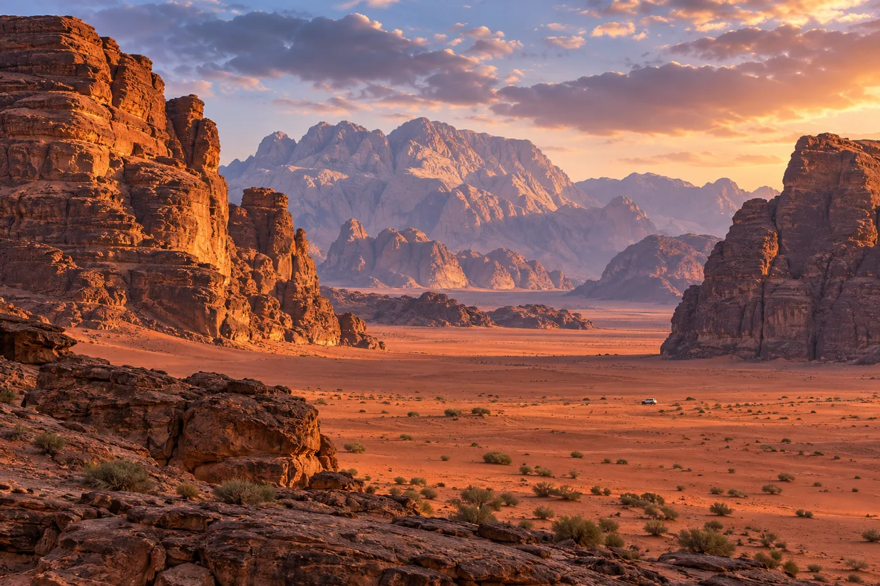
myAudience · original generated illustration · Original generated illustration; interpreted setting, not documentary evidence, current conditions or an authenticated viewpoint.
Wadi Rum's sandstone walls and open valleys in southern Jordan invite a geological reading. UNESCO describes landforms influenced by rock properties, uplift, fractures, weathering and erosion. The desert's present appearance is therefore not the result of wind acting alone, and not every stage of its history occurred under the same climate conditions seen today.
Cliffs, narrow clefts, arches and broad wadis show different expressions of those processes. A fracture can offer a weakness along which change develops, while material properties influence how a face weathers. Our regional illustration makes scale and texture visible, but it cannot identify the formation date or precise rock type of each invented surface. A geological map or field study would be needed for that level of explanation.
Human history also belongs in this landscape. Archaeological remains, rock art, inscriptions and water-catching features record long relationships between people and their environment. UNESCO treats Wadi Rum as a mixed cultural and natural property. Rock art is evidence requiring context and careful interpretation; an invented mark would not be a harmless substitute for a genuine inscription, so none is drawn in this illustration.
The official Jordan tourism account also identifies Bedouin communities in the region. They are contemporary people, not figures frozen into a romantic desert past. Consider the difference between a visitor's view of open space and a resident's knowledge of use, movement and meaning. That question can deepen a reading without pretending to speak for a community or disclose culturally sensitive knowledge.
An apparently empty plain is not an invitation to drive anywhere, climb a formation or collect stone. Follow current official guidance and authorised local arrangements, and leave cultural traces undisturbed. The small distant vehicle provides scale, not a route recommendation. This image promises no camp location, weather, night-sky conditions or safe access; the desert needs current planning beyond a beautiful frame.
Image: illustration, not a documentary photograph.
Further reading
A desert can be read as a landscape of processes and as a record of human activity. Wadi Rum's mixed heritage significance brings those perspectives together rather than requiring a choice between scenery and history. The sandstone forms are not a blank stage onto which people arrived only when they could be photographed. Rock art, inscriptions and archaeological remains introduce a different kind of evidence from the cliffs themselves, and each needs its own questions.
Rock type helps constrain a landform, but it does not explain it alone. UNESCO's account connects sandstone with fractures, tectonic influences, weathering and erosion. A crack can provide a route along which material is weakened or removed; the strength and arrangement of rock can affect what remains. These are general relationships, not a diagnosis of every pictured cliff. A specific explanation needs geological observations rather than assuming every hollow was made by wind or every straight face by one event.
The present climate is not a complete guide to the landscape's entire history. Processes associated with earlier wetter conditions can leave forms that persist into a drier environment. A photograph taken today therefore cannot establish the climatic conditions under which a feature first developed. This is an important distinction between observing a current state and reconstructing a sequence. To argue for a sequence, geologists need evidence of materials, relationships and timing, not simply a dramatic modern colour palette.
Inscriptions and images introduce a parallel caution. Finding an animal figure does not establish its date, author or exact purpose by itself. An interpretation needs recording, context and comparison with other securely understood evidence. A reader should resist inventing a translation because marks resemble familiar letters. Respecting a record includes recognising the limits of one's interpretation; it also means not making new marks or treating an ancient surface as a convenient backdrop for a souvenir.
Evidence of water catchment and different forms of land use helps explain adaptation rather than an empty, unchanging desert. Mobile livelihoods and settlement need not be opposites with one inevitable replacing the other. They can be considered as different relationships with resources and movement, subject to evidence from particular places and periods. That question is more useful than assuming a harsh-looking landscape could never sustain people. Equally, it must not become a promise that any modern journey is safe or that water is available at a pictured site.
The existing panorama shows rock masses framing an open sandy valley. The rough surfaces and contrasting forms support observation of variation; they do not date uplift or identify every rock unit. No inscription or archaeological feature is authenticated by the scene. Notice how the small invented vehicle affects perceived scale, then recognise that its size and distance are not measured. The thumbnail preserves the valley's broad composition without becoming a geological map or a route guide.
Consider a fictional access proposal that directs visitors toward one popular formation to reduce disturbance elsewhere. Concentration might protect some areas while increasing pressure on a fragile surface at the chosen place. A reasoned decision would need evidence of vulnerability, local uses, transport effects and alternatives, as well as consultation with custodians. 'Spread everyone out' and 'send everyone to one spot' are both incomplete answers when they ignore what is actually being protected and how damage might occur.
Transfer: compare the evidence needed to explain a weathered cliff and an inscription on it. Answer: the landform requires observations of rock, fractures and surface processes, with further evidence for timing; the inscription requires careful recording and historical or linguistic context. Sharing a surface does not make the two features the same age. The illustration supplies neither investigation. A strong account can connect natural and cultural significance while keeping their evidential methods distinct, and can enjoy a striking landscape without turning its beauty into an unsupported claim about its past.