Budapest: two banks, one changing city
By Places and their stories · myAudience
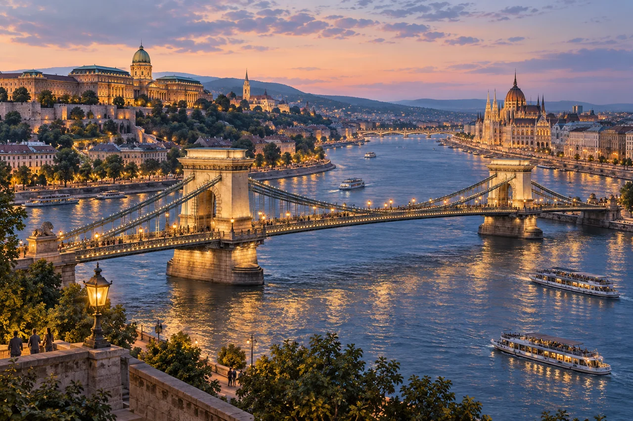
myAudience · original generated illustration · Original generated illustration; interpreted setting, not documentary evidence, current conditions or an authenticated viewpoint.
Budapest's riverfront makes a useful lesson in how terrain and urban growth interact. Buda occupies rising ground on the Danube's right bank, while Pest spreads across flatter ground on the left. Those different conditions help explain contrasting patterns of streets and buildings. The river separates districts, but bridges turn it into a connection as well as a boundary.
The Chain Bridge opened in 1849, before the 1873 unification associated with modern Budapest. Its history involves design, finance, materials and labour, not only an elegant outline. The historical research account names William Tierney Clark as designer and Adam Clark as the engineer responsible for construction. Sharing a surname does not make them one person. Infrastructure is usually an achievement of many roles rather than a single heroic inventor.
That account also describes the bridge's later structural renewal, destruction in 1945 and postwar reconstruction. The present appearance therefore should not be mistaken for untouched nineteenth-century fabric. A structure can preserve a familiar design through substantial rebuilding. This is a useful distinction elsewhere too: continuity of form, continuity of materials and continuity of use are related but separate questions.
Compare the hill, river plain and suspended bridge in the illustration. What would a map add that a pleasing view cannot? It could establish distances, bank relationships and routes beyond the frame; the image supplies none of those measurements. The palace and Parliament-inspired silhouettes introduce contrasting architectural identities, but their placement is a composite rather than a navigational guide. Boats and lighting are invented scene details, not a transport timetable.
The World Heritage designation includes the riverbanks, Buda Castle Quarter and Andrássy Avenue, linking a river landscape with other aspects of urban planning. A fuller reading should move beyond the waterfront's best-known buildings. Make room for everyday movement, respect residential and religious spaces and check current official access information. Beautiful evening light is an invitation to look closely, not evidence that the city has remained unchanged.
Image: illustration, not a documentary photograph.
Further reading
Across the Danube, landform and urban history belong in the same account. Buda's rising terrain and Pest's flatter side provide different settings for building and movement. Yet topography alone does not dictate a city's future. Choices about crossings, institutions and streets also connect the banks. Reading those relationships avoids two extremes: treating the river as a permanent dividing wall, or assuming that a bridge immediately made the communities politically identical.
A symbol of connection and an administrative unification are different kinds of event. UNESCO's historical account distinguishes the nineteenth-century Chain Bridge from the later creation of a unified city. A bridge can make crossing more dependable and can carry an important public meaning, while formal arrangements follow a separate history. This is why an image of a crossing is not evidence of a legal boundary change. It helps us ask about connection; records establish what changed institutionally and when.
The historical Chain Bridge account also distinguishes design and supervision. William Tierney Clark prepared the design, while Adam Clark directed construction work. Shared surnames should not collapse their roles into one person. More broadly, a major structure joins planning, finance, materials and labour; attributing everything to one celebrated name hides those relationships. Here the distinction is documented, but the illustration does not identify who worked on any visible component.
Continuity of appearance need not mean continuity of every material. The same historical account records major replacement and reconstruction, including rebuilding after destruction in the Second World War. A recognisable form can therefore have a complex fabric history. This does not make it meaningless or fraudulent. It makes questions about what survived, what was reused and what was rebuilt more informative than the unqualified word 'original'. Do not infer that every present component belongs to the first construction.
The wider designated urban landscape includes Andrássy Avenue as well as riverbank and castle-quarter elements. A waterfront view captures only part of that story. Streets, institutions and transport can organise urban growth beyond the most photographed buildings. A useful comparison asks how a river crossing connects places and how an avenue structures movement through a district. It should not pretend that our image surveys either network, or import current traffic patterns into a historical account without evidence.
The composite illustration sets a suspension-bridge-inspired crossing between a higher bank and a flatter waterfront. Its light and invented vessels create atmosphere, not a timetable or a measured plan. The arrangement can support broad topographic comparison, but the exact member geometry and building positions remain interpreted. Notice the relationship between a crossing and the two banks before deciding what additional maps or records would be needed to make an engineering or historical claim precise.
Consider a fictional riverfront project with two options: a barrier that protects views poorly but provides straightforward access, or a visually discreet design that creates difficult passage for some users. Neither appearance nor access should be dismissed. A reasoned evaluation would seek alternative designs and evidence about function, maintenance and who is affected. Heritage conservation cannot be assessed solely by a photograph, and accessibility cannot be established merely because a designer calls a route usable.
Transfer: a caption calls the depicted bridge an untouched structure whose opening instantly united the city. Correct both claims. Answer: separate the bridge's earlier opening and symbolic connection from later formal unification, and distinguish recognisable form from replacement and post-war rebuilding. Records of construction and reconstruction support those distinctions; this generated view cannot certify any individual component. A strong corrected caption can still celebrate connection while acknowledging the work of successive generations. Historical precision strengthens the story rather than taking its interest away.