Namib Sand Sea: wind, fog and a moving landscape
By Places and their stories · myAudience
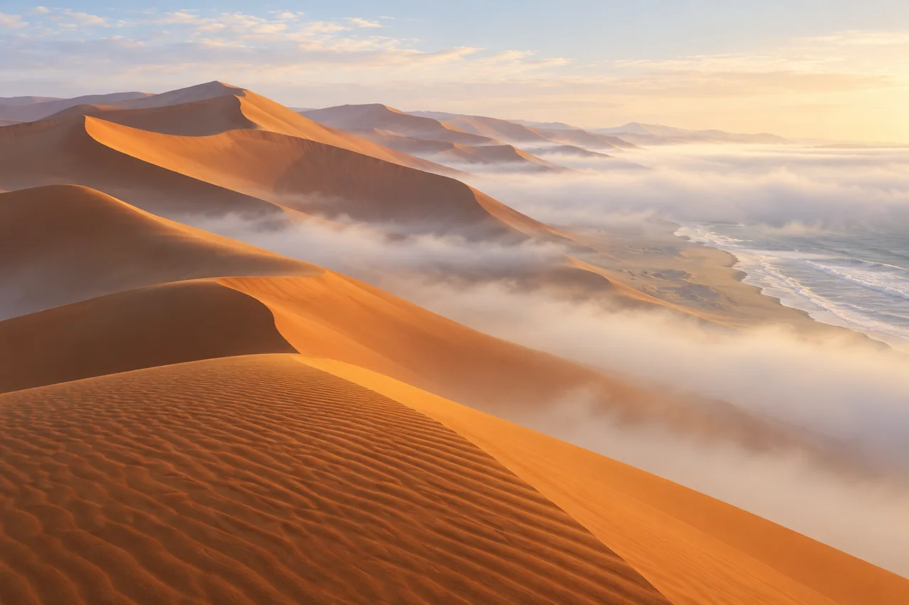
myAudience · original generated illustration · Original generated illustration; interpreted setting, not documentary evidence, current conditions or an authenticated viewpoint.
The Namib Sand Sea lies within a coastal desert landscape in Namibia. Dunes can appear like still sculptures in a photograph, yet their shapes are records of movement. Wind carries grains, shifts crests and changes the surfaces that catch the light. A scene of orange slopes and coastal fog can introduce those processes without claiming that the same ridge will always look exactly as it does here.
UNESCO describes a connected transport story involving river erosion, ocean currents and wind. Sand in the dune field did not all originate by wearing away the rock immediately beneath each dune. The account links inland sources, the coast and the wind-built landscape. That is a useful reminder to investigate where a material came from as well as where it finally accumulated.
Fog is important to the desert's ecology. Organisms in this environment have adaptations associated with scarce water and shifting sand, but a general account cannot assign one collection method to every species. Learning about a particular animal would require identified evidence of its behaviour and body form. The wider question is how small differences in moisture, exposure and shelter can matter within a landscape that first appears uniform.
Compare the lit dune slopes with their shaded sides and the low fog in our interpreted scene. What might wind direction explain, and what would require measurements over time? A single view can suggest forms, not determine every prevailing wind or the age of a ridge. The image combines plausible coastal-dune relationships; it is not an exact named viewpoint, a measured cross-section or evidence of conditions on the day of a visit.
Sparse vegetation does not mean an empty ecosystem. A respectful account makes room for small and easily overlooked life, the work of conservation and the limits of access. Avoid treating dunes as a blank surface for unlimited activity or reading a serene image as proof of safe travel. Current official arrangements are needed for a visit. Here, the aim is to notice how geology, atmosphere and biology connect within one distinctive desert setting.
Image: illustration, not a documentary photograph.
Further reading
The Namib Sand Sea records transport and accumulation, not simply an arrangement of still sculptures. Wind moves sediment and shapes ridges, while material can have a history much longer than its present crest. Distinguish the age of sand, an older dune formation and the position of a moving surface. They are related questions with different evidence. A dramatic landscape can prompt investigation, but explaining its form requires processes operating across places and periods beyond the instant captured in a picture.
UNESCO describes a sediment conveyor involving inland erosion, river and ocean transport, then wind-driven accumulation. A grain's present location is therefore not proof that the rock directly beneath it supplied the material. Several stages can connect a distant source with a dune. To investigate that history, compare appropriate sediment and geological evidence along the proposed pathway. This broader chain prevents a local view from becoming an unsupported origin story, and helps explain why coastal processes belong alongside wind in the landscape's account.
Different wind conditions and patterns of deposition can produce different dune forms. Fog and location also vary, so one scene cannot reconstruct a complete prevailing-wind or moisture history. A ridge's orientation might help frame a hypothesis, but dated and spatially distributed observations are needed to test it. Separating form from inferred process is valuable: a plausible explanation should state what would distinguish it from alternatives. The reading does not assign a daily wind direction or a permanent migration speed to the whole sand sea.
Fog contributes moisture within the desert system, and particular habitats support specialised communities. Sparse vegetation in a broad view is not proof of an empty ecological landscape. The sourced account supports relationships between moisture and habitats, but this illustration does not identify a particular organism collecting water or demonstrate its method. A species-specific adaptation needs its own reliable evidence. Asking how moisture is available and which organisms use it is a stronger scientific starting point than inventing a detailed animal behaviour because it would make an attractive story.
Movement and ecology require different observations. Repeated, aligned measurements of ridge position can investigate displacement; identified organisms observed with defined effort can investigate a community. Neither substitutes for the other. Older management language also cannot establish that current impacts are absent. Define the period and location of any assessment before describing the landscape as unchanged. This keeps the natural-history explanation separate from a present legal or access claim, while allowing a reader to recognise why both physical and biological monitoring may matter.
The reused illustration combines dunes, ripples, shaded faces and a suggestion of coastal fog. It supports comparison of forms and questions about illumination and moisture, not a survey of a named crest. No species-specific adaptation is depicted or certified by the scene. The source explains the transport system; the following chosen observation shows how a much narrower movement claim can be measured. These different roles prevent an attractive sunset from being mistaken for a record of sediment flux or a current weather report.
Imagine two dated orthorectified maps with the same coordinate reference and a stable benchmark. One chosen crest lies at position 100 m on the first map and 104 m two years later. Its measured displacement in that direction is 4 m, giving an average of 2 m per year over the interval. These are fictional survey values. The comparison depends on matched reference, crest identification and measurement uncertainty; a difference in map alignment could otherwise imitate movement that the ridge did not make.
Transfer question: A benchmark-referenced crest moves from 100 m to 104 m over 2 years in chosen maps. Does a single new photograph justify a fixed 2 m/year forecast and 4 m³ of new sand? Answer: A new sunset photograph alone cannot show that same two-year displacement or justify a future constant 2 m per year. It lacks the matched reference and interval observations. Even the chosen map result concerns crest position, not the creation or loss of the entire sand volume. Changes in shape can redistribute material. The defensible conclusion names the measured feature, direction and interval, then explains the uncertainties. It does not turn an average displacement into a daily wind history, a universal speed or a prediction of future conditions.