Yosemite: rock formed below ground, shaped above it
By Places and their stories · myAudience
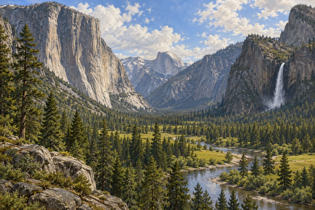
myAudience · original generated illustration · Original generated illustration; interpreted setting, not documentary evidence, current conditions or an authenticated viewpoint.
Yosemite's cliffs invite two different questions: how did the rock form, and how did it acquire its present shape? Those questions belong to different parts of the geological story. Much of the park's bedrock is granitic, formed from magma cooling beneath the surface. The exposed valley landscape came later, through uplift, erosion and episodes of glaciation rather than one dramatic act of creation.
The National Park Service distinguishes the emplacement of granitic rocks from subsequent landscape change. Overlying material was removed, exposing rock formed at depth. Rivers cut valleys, and advancing glaciers later widened and deepened parts of them. Glaciers did not manufacture the granite. Separating rock origin from landform development helps avoid a common mistake when interpreting the cliffs, domes and broad valley floor.
UNESCO identifies polished domes, hanging valleys and other landforms associated with glacial action on granitic bedrock. A hanging tributary valley can help explain a waterfall dropping toward a deeper main valley. Yet today's water flow and the volume of any depicted fall are separate questions. Rock structure, continuing erosion and weathering also matter, so the whole landscape should not be reduced to a single process acting once.
In our interpreted view, compare the steep walls, broad valley, river and rounded distant dome. Which clues suggest a glacially altered landscape, and which would need a real geological survey? A broad shape can introduce a hypothesis but cannot date an event or identify every rock. Our scene brings characteristic relationships together without claiming an exact named viewpoint, measured cross-section or current waterfall conditions.
Yosemite is also an ancestral homeland with continuing Indigenous cultural relationships, not a landscape whose human story began at national-park designation. Care for places involves cultural understanding alongside ecological and geological observation. Respect current park instructions and give wildlife and other visitors space. The picture offers a way into learning; it does not establish present access, permits, weather or a safe route through the park.
Image: illustration, not a documentary photograph.
Further reading
Yosemite's granitic rock and glacial landforms tell related but different histories. Granite formed from magma at depth; later exposure, uplift and erosion helped create a landscape that ice could modify. A glacier did not manufacture the granite it crossed. Keeping these stages separate makes the explanation more precise than calling the whole valley glacial. The landscape contains evidence about both the origin of its rock and the processes that shaped exposed surfaces, and each claim needs an appropriate kind of observation.
The National Park Service distinguishes plutonic rock types and intrusion phases. Not every rock across the park therefore has an identical composition or formation history. Mineral relationships and mapped contacts can help investigate emplacement, while a distant cliff outline cannot provide the same information. This matters even when several rocks are called granite informally. The reading does not infer a cliff-strength rating from a rock name; fractures, weathering, geometry and other conditions require separate investigation for any actual engineering or safety assessment.
Streams cut valleys before repeated glaciation deepened and widened parts of the landscape. A large main valley and a tributary can experience different amounts of erosion, leaving the tributary floor higher when ice retreats. Such a hanging relationship can help explain the position of a waterfall. It does not predict today's water flow. The sequence is the important mechanism: existing rock and river-cut terrain were modified, and the relative effects of erosion influence the landforms later visible to an observer.
Different geological features support different inferences. Striations can indicate ice-related abrasion; moraines concern deposited material; erratics can suggest transport; mapped joints concern rock structure. Their interpretation requires location and context. A broad U-shaped silhouette may support a glacial hypothesis, but it does not date a particular glaciation on its own. Assemble several kinds of evidence rather than demanding that one striking feature prove the entire history. A confident explanation states which observation supports each step and what remains unresolved.
The scientific landscape account coexists with continuing Indigenous relationships. NPS's community-use account supports a history extending beyond the park as a visitor destination. A reconstructed museum village is one interpretation of material and cultural history, not the entirety of past or contemporary Indigenous experience. Different communities and people should not be collapsed into one timeless voice. Relating their evidence to the geological account broadens understanding without suggesting that a landform measurement can substitute for community knowledge or that the two answer identical questions.
The reused illustration presents a valley, granitic walls, a river and an illustrative side waterfall. It is a composite orientation to the relationships discussed, not an authenticated viewpoint or a dated geological section. It neither identifies an active glacier in frame nor establishes current water flow. The rock-origin and erosion claims come from reliable explanations and field evidence, not generated textures. Use the scene to ask how a main valley and tributaries relate, then seek the appropriate evidence for the proposed history.
Consider two fictional explanations. The first says the glacier formed the granite because the valley has a glacial shape. The second orders emplacement at depth, exposure and stream erosion, then modification by ice. Mineral and intrusive-contact evidence is relevant to the rock-origin part; striations, transported deposits and valley relationships address later shaping. The second explanation can accommodate these different observations without treating one landform as proof of an unrelated formation process. It remains a sequence to test, rather than a precise chronology supplied by the illustration.
Transfer question: A broad valley is ice-free today, so a learner says glaciers cannot have shaped it; another says glaciers made its granite. Evaluate both using different evidence. Answer: Both claims need correction. An ice-free valley today does not refute past glacial shaping: glaciers can leave evidence after the ice disappears. Glaciers also did not produce the granite. The granite formed through the crystallisation of magma deep underground; later uplift, exposure and erosion, including glacial processes, helped shape the landscape seen today. Separate evidence for rock formation from evidence for later landform shaping rather than assigning both to one process. A present photograph alone supplies neither a crystallisation date nor the complete glacial chronology. Historical explanation likewise cannot certify a safe current route or establish every present condition in the valley.