Amsterdam's canals: a planned city beneath a familiar view
By Places and their stories · myAudience
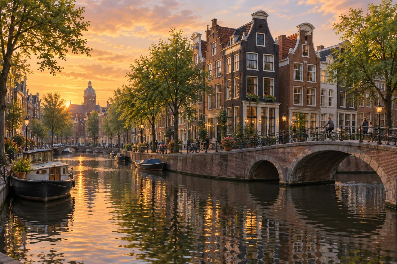
myAudience · original generated illustration · Original generated illustration; interpreted setting, not documentary evidence, current conditions or an authenticated viewpoint.
Amsterdam's canal district can look effortless from a bridge: water, trees and repeated gabled houses arranged in an attractive rhythm. That apparent ease rests on deliberate engineering and planning. The seventeenth-century expansion created new urban ground and waterways around the older city. A canal is therefore part of a system of land, circulation and building plots, not simply a decorative strip of water.
UNESCO describes concentric arcs of canals connected with radial waterways and streets. The arrangement gave the expansion a structure larger than any individual house. Thinking at that scale changes the questions a view invites. How do several streets and waterways connect? How might a plan coordinate many small building decisions? A photograph of one canal can begin the investigation, while a map reveals relationships that it hides.
Gabled facades and historic alignments are important to the district's character. Their repetition does not mean every building has the same history or construction. The urban fabric reflects maritime trade and changing social life, with inherited forms adapted over time. An attractive streetscape should prompt questions about the people and economic relationships behind it, rather than making prosperity itself an uncomplicated measure of achievement.
Look at the bridge, canal edge and narrow facades in our interpreted scene. What would happen to the composition if the bridge or one line of trees were removed? This is an observation exercise about connection and enclosure, not a proposal to alter a real street. The picture is also insufficient to determine water management, foundations, building age or the fairness of historical trade. Those require evidence beyond surface appearance.
Canal neighbourhoods remain places of everyday life. Give residents, pedestrians and cyclists space rather than treating a crossing as a private viewing platform. A thoughtful account can enjoy the design while asking whose stories are absent and how a historic district supports contemporary needs. Use current official information for visiting arrangements. The city has many histories beyond the canal ring, and one carefully labelled illustration is an invitation to explore them, not a complete account.
Image: illustration, not a documentary photograph.
Further reading
Amsterdam's canal ring is a designed cityscape, not a naturally convenient set of waterways around which houses simply appeared. UNESCO identifies a major achievement in hydraulic engineering and urban planning. Water, streets, plots and buildings form one organised ensemble. A canal-side facade is its most recognisable surface, but the city becomes more intelligible when the explanation reaches behind that surface to the work of creating and using urban ground.
The City Archives distinguish two major expansion phases: construction from 1613 between Haarlemmerdijk and Leidsegracht, followed by an extension toward the Amstel after 1656. That sequence matters when looking at a seemingly coherent semicircle. A consistent overall form can result from stages of work rather than a single simultaneous campaign. Dated plans help identify intended growth; records of construction help test which parts were actually realised and when.
The archive describes digging canals, raising land, removing existing houses and building defences. Each action changed relationships between water and occupied space. New plots also needed connections: a dwelling required routes for people, goods and service work, not just a prominent frontage. This makes urban planning a problem of linked functions. Drawing a neat line on a plan is only the start; implementation reorganises ground, access and existing activities.
Social differences were built into that organisation. The archive describes wealthy residents on the broad canals and workshops, service spaces and other homes in different streets. Kerkstraat supplied a rear working network for canal houses. A ceremonial-looking front can therefore coexist with less visible labour behind it. To understand the neighbourhood, compare routes and functions on both sides of the plot rather than equating an elegant facade with the complete life of its building.
The City Archives also connect some canal-house wealth with plantation products and enslaved labour. That documented relationship changes the question from 'Was this architecture impressive?' to 'Which activities financed it, and whose work was concealed in the finished view?' Beauty and coercion can belong to the same historical account. An individual house still needs its own ownership and commercial records; a general connection should not be turned into an invented biography of every resident.
UNESCO distinguishes surviving canal alignments and historic facades from hydraulic and civil structures that have been replaced. Conservation of a living ensemble is consequently more complex than freezing every component. A bridge or embankment serves ongoing movement and maintenance while contributing to a historic setting. Evaluating change means identifying what value is affected, which alternatives exist and how the intervention is recorded. Apparent visual continuity need not imply that all infrastructure is original.
Our canal illustration shows water, a bridge and closely aligned gabled buildings. It is useful for considering the relationship between frontage and route, but it is not an authenticated canal survey or a catalogue of particular houses. It supplies no water-quality evidence, flood capacity or proof of a property's commercial history. Let the familiar view introduce the archive's less visible stories of phased expansion, service work and unequal sources of wealth.
Transfer a water-balance idea to a fictional district: 30 mm of rain falls on 2 hectares, all becoming inflow to a chosen storage boundary; 450 m³ leaves during the same period and there are no other flows. Answer: inflow is 0.03 × 20,000 = 600 m³, so storage rises by 150 m³. A level photograph cannot establish those quantities. The model shows why storage and outflow both matter; it supplies neither Amsterdam's actual drainage capacity nor a safe flood threshold. If only half the rain enters that boundary, the balance changes and must be recalculated.