Washington's National Mall: public space and public memory
By Places and their stories · myAudience
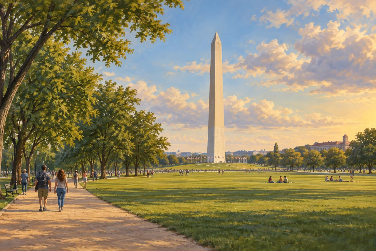
myAudience · original generated illustration · Original generated illustration; interpreted setting, not documentary evidence, current conditions or an authenticated viewpoint.
Washington's National Mall invites attention to the space between monuments as well as to the monuments themselves. Long views, paths, lawns and planted edges connect buildings into a civic landscape. The arrangement makes movement and gathering part of the experience. A place designed for national remembrance can also become a setting for debate, celebration and the expression of competing aspirations.
The National Park Service connects the landscape's origins with Pierre L'Enfant's plan for the federal city. Later memorials and public uses added further layers. The present ensemble was not completed at the founding in one uniform campaign. Recognising different dates matters because a memorial tells us about the period it commemorates and about the later choices made to commemorate it.
NPS describes the Mall and associated parklands as places for remembrance, observance and the exercise of First Amendment rights. That connects formal design with people gathering in the space. It also encourages questions about representation: whose experiences are made visible, how a design frames a person or event, and how public understanding changes. Those questions do not have to assume that one monument expresses every citizen's perspective.
In our interpreted view, follow an open axis toward a distant obelisk and compare the scale of people with the surrounding lawns and trees. What might this arrangement invite people to do? It offers a starting point for thinking about visibility and gathering. The scene is not a measured plan or evidence of a particular protest, crowd size or current programme. A sunny picture cannot establish how a public space is used every day.
Look beyond the most recognisable silhouette when learning about the capital. A memorial's texts, commissioning history and the voices of people connected with its subject can deepen an account based on appearance alone. Give other visitors room and respect current site arrangements. The landscape belongs within a living city with histories beyond its national institutions. This reading introduces public memory as something designed, discussed and revisited, rather than treating it as a single finished story.
Image: illustration, not a documentary photograph.
Further reading
The National Mall is a landscape with a history, rather than an empty gap left between monuments. L'Enfant's 1791 plan proposed a capital organised through avenues, important buildings and long views. The present scene emerged through later decisions as well. A plan is evidence of an intention at a particular date; it is not proof that every feature was built immediately. Comparing intended and realised space makes the capital's chronology more meaningful.
The McMillan planning initiative of 1901–02 renewed the ambition for a formal monumental landscape. The National Park Service's cultural-landscape account connects later implementation, especially in the 1930s, with that scheme. This separates proposal from execution and avoids attributing the entire modern ensemble to one founding moment. Institutions, maintenance work and later interventions turned planning ideas into particular paths, planted panels and relationships between buildings.
The landscape's tree panels and cross routes are not merely decoration around an axis. They organise movement, shade and connections to neighbouring institutions. The NPS inventory distinguishes the broad longitudinal relationships from routes crossing them. A long view can make a destination visually prominent while the actual journey depends on a network of paths. Visibility and accessibility are related questions, but they are not interchangeable measurements.
Changes in everyday infrastructure also belong to the story. The NPS account records former drives converted into walks and roads that cross at the surface or pass beneath the landscape. A place can retain a recognisable monumental composition while changing the ways people move through it. This is why a convincing history needs more than a matching skyline: different layers of design serve different users and can change at different times.
Public memory involves later choices about what to commemorate and how. A monument has a relationship to the person or event remembered, and another relationship to its commissioning and interpretation. Distinguishing those dates helps explain why discussion can continue after construction. Recognition of a powerful national symbol does not settle every perspective on its subject; accounts from affected communities and the monument's own records can complicate and enrich an initial reading.
The Mall's open spaces also support gathering, celebration and debate. Their upkeep therefore concerns both a designed historic landscape and a place used by many people. Evaluating a proposed change might require evidence about movement, shade, conservation and the experience of different users. It would be inadequate to judge only whether an aerial composition remains elegant. A civic landscape matters through its use as well as through the intended symbolism of its geometry.
Our illustration offers an open lawn, tree-lined edges and a distant Washington Monument-like obelisk. It can introduce relationships between scale, vista and movement. It cannot date every landscape feature, identify a particular gathering or measure accessible travel distances. The invented visitors are not evidence of who uses the place in practice. Read the picture alongside the different planning and implementation dates, rather than imagining that it reproduces the entire 1791 proposal.
Try this unfamiliar proposal: a fictional redesign retains a straight view to a monument but removes the only cross-path linking two museums. Its summary says the experience is unchanged because the view is unchanged. Answer: reject that conclusion. Visual continuity does not preserve route connectivity; some journeys may become longer or cease to be possible by the same route. Compare path networks and evidence from different users, as well as sightlines and conservation effects. The available information identifies a change worth testing, not a complete judgement about the proposal's accessibility or acceptability.