Cartagena: reading a city through its defences
By Places and their stories · myAudience
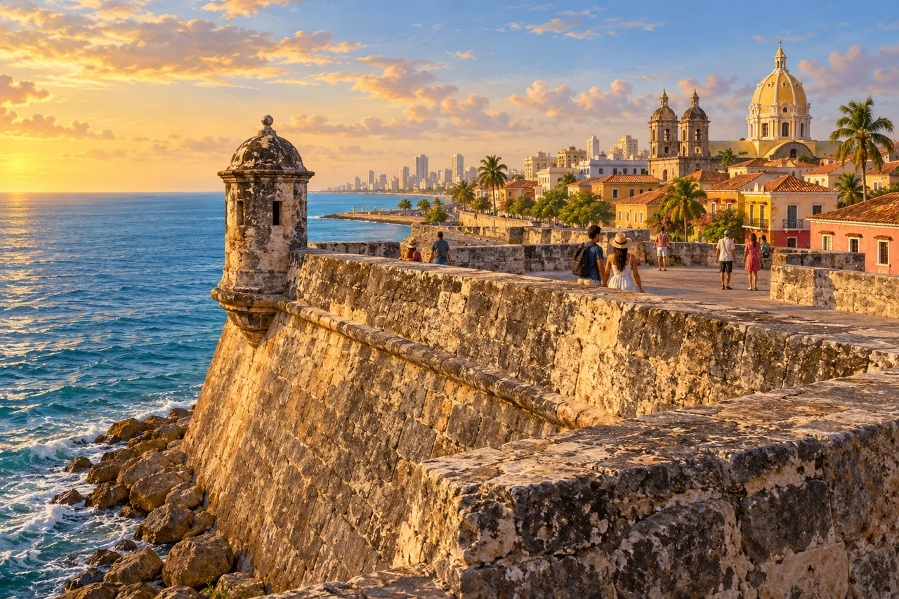
myAudience · original generated illustration · Original generated illustration; interpreted setting, not documentary evidence, current conditions or an authenticated viewpoint.
Cartagena's historic architecture is closely connected with its Caribbean bay. Walls and fortresses introduce a city whose port mattered within Spanish colonial maritime routes and conflicts between European powers. A defensive system is more than a dramatic backdrop: it organises access, visibility and the relationship between urban spaces and the water surrounding them.
UNESCO describes fortifications developed and extended across the sixteenth, seventeenth and eighteenth centuries. Their locations took account of channels, harbour entrances and elevated ground. Looking at a wall without its wider setting can miss that logic. A complete explanation needs the relationship between several positions, rather than assuming one prominent structure defended every approach or that the whole system was built in one campaign.
Within and around the historic centre, different neighbourhoods developed distinct social and economic relationships. UNESCO's account includes wealthy residences, merchants, craftspeople and enslaved people whose labour supported the city. The stonework should therefore open questions about both military planning and unequal power. Admiring engineering does not require describing colonial expansion as an uncomplicated shared achievement.
Our interpreted image connects a low bastioned wall, an open coastal edge and a cluster of urban roofs. Follow the angled surfaces and consider what a map might add about fields of view and routes. The scene is not a measured fortification plan or evidence for the effectiveness of a particular defence. Its invented buildings and contemporary figures cannot reconstruct an attack, authenticate a military design or describe current access along the walls.
The city also has histories and communities beyond its monumental defences. Give working streets and residents space, and look for accounts that connect material heritage with everyday life. Conservation involves the fabric of buildings and the needs of people using them. Use fresh official information for actual arrangements rather than reading an illustration as a promise of conditions. A thoughtful introduction can enjoy the coastal composition while keeping the difficult social history within view.
Image: illustration, not a documentary photograph.
Further reading
Cartagena's port, fortified approaches and urban districts form a linked system on Colombia's Caribbean coast. A sheltered bay connected shipping with a settlement that European powers sought to control. UNESCO describes fortifications developed across the sixteenth, seventeenth and eighteenth centuries. Their history is therefore an evolving response to location and conflict, not a single line of walls built once and never reconsidered.
Natural channels and passes shaped the defensive arrangement. Positions around the bay addressed approaches from different directions, while the city enclosure had another role. A wall along one visible shoreline is only a fragment of this network. To understand its organisation, distinguish an entrance pass, an interior bay position and a landward approach. A map can reveal how they relate; a photograph cannot establish that every possible movement was covered or that an intended defence always succeeded.
UNESCO identifies San Felipe de Barajas with a rocky rise east of the city and other fortresses with the bay's passes. This relates topography to the location of defensive works without turning terrain into a guarantee. Height, routes and connections are evidence to investigate together. A fortified position might influence an approach while also depending on supplies and other positions. No modern operating prescription or imagined historic weapon performance follows from recognising that spatial relationship.
The enclosure contained districts with different social and economic histories. Centro, San Diego and Getsemaní were not interchangeable collections of facades. The heritage account associates them with institutions, merchants, craftspeople and enslaved workers. These are broad historical descriptions, not an identity assigned to every household. Investigating labour and inequality prevents an account of successful engineering from treating the people who supported the city's economy as an anonymous decorative background.
Material evidence adds another kind of history. Colombia's National Museum described tools, a worked stone from San Luis de Bocachica and other objects in a 2012 exhibition about the fortifications. Such exhibits connect construction with records and workmanship rather than merely displaying a completed silhouette. The report is about a dated exhibition, not its availability today. An object with documented provenance can address questions that a generic illustration cannot, while still representing only part of a complex construction history.
Conservation has to consider the network as well as individual masonry. A repaired section may retain an appearance while changing material; nearby development may change the context through which an approach is understood. Keep records of purpose, dates and alteration alongside the preserved structure. Continued use as a living city also raises questions about movement and access for residents. Historical protection is not adequately explained by treating every street as a visitor route detached from everyday needs.
The cover shows an interpreted seaward wall, projecting lookout form, domes, roofs and fictional walkers, with a modern skyline in the distance. It suggests a relation between fortification and coastal edge, but is not an authenticated plan of the bay system or a dated engineering survey. It cannot identify every position or construction phase. The distant buildings emphasise that this is a composite view of a living setting rather than documentary evidence of a colonial moment.
Check: A fictional map retains a city wall but removes all labelled fortresses at two harbour passes. An argument says the defensive system is unchanged because the city's perimeter remains. Answer: The claim confuses one component with the network. Removing positions at approaches changes the documented arrangement even if the urban enclosure survives. Compare routes, positions and their proposed relationships before discussing the consequences. That establishes a change in configuration, not a certain historical battle outcome; effectiveness would require evidence about resources, use and the circumstances of a specific event.