Vienna: finding the former walls in a modern city
By Places and their stories · myAudience
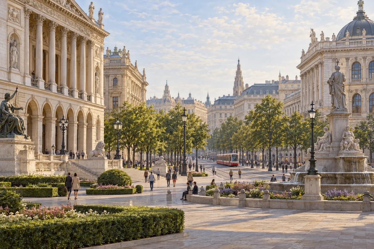
myAudience · original generated illustration · Original generated illustration; interpreted setting, not documentary evidence, current conditions or an authenticated viewpoint.
Vienna's historic centre brings several urban periods into the same walk. Medieval streets, Baroque ensembles and nineteenth-century civic buildings do not belong to one uniform imperial scene. Comparing them helps explain how a city can inherit a layout while repeatedly changing its architecture, institutions and ideas about public space. A building's grand appearance is a starting point, rather than a complete historical explanation.
UNESCO describes the Ringstrasse ensemble on the line of demolished fortifications around the inner city. Removing walls created opportunities for a different arrangement of major buildings, parks and routes. Defence and circulation gave way to new ways of representing civic and imperial power. The relationship between a boulevard and the older centre is therefore part of the history, not simply a convenient route between attractions.
The account distinguishes medieval, Baroque and Gründerzeit phases and connects Vienna with musicians including Mozart, Beethoven and Schubert. Music belongs within a wider landscape of patrons, institutions and audiences rather than being a quality produced automatically by elegant buildings. Individual biographies and performances need their own evidence. A street associated with a composer cannot tell us everything about the working life that made the music possible.
Our interpreted boulevard places formal stone facades beside trees, paths and a modest contemporary tram. Compare the repeated windows with the larger open space in front. What might a plan reveal about the change from an enclosed city to a ring of public buildings? The picture cannot establish a measured street width, authenticate a concert venue or date each decorative feature. It introduces relationships without replacing an architectural record.
A living city includes homes, ordinary work and cultural traditions beyond its most monumental institutions. Ask whose experiences a grand public ensemble foregrounds and which stories need a different perspective. Conservation can involve choices about skyline, housing, movement and daily use, not only restoring decoration. Give residents and pedestrians space and consult current local arrangements. This reading offers a way into Vienna's layered urban history without declaring one city the universal capital of music or promising unchanged present conditions.
Image: illustration, not a documentary photograph.
Further reading
Vienna's historic centre contains several overlapping urban histories. Medieval fabric, Baroque ensembles and nineteenth-century development are related without belonging to one construction date. The Ringstrasse is particularly useful because it turns a former defensive boundary into a different kind of urban space. Understanding that transformation requires attention to land, routes and institutions, not merely a list of impressive buildings beside a boulevard.
The City of Vienna dates a decision to demolish the inner city's defences to 1857, following the incorporation of suburbs in 1850. Its account distinguishes the walls from the wider belt of military land. Removing a boundary could therefore make more than a narrow roadway available. It created opportunities and conflicts about what should occupy the released space and how the inner city would connect with surrounding districts. Demolition and subsequent construction were distinct stages, not one instantaneous event.
The new ensemble included public institutions and private development. Museums, opera, parliament and the university had different functions despite sharing prominent settings. Their architecture drew on historical styles, so a classical-looking facade need not date from antiquity and a Gothic-looking civic building need not be medieval. Style is a choice that can refer to an earlier period. A verified building chronology is needed before appearance is used as evidence of actual age.
The municipality also describes land that remained a military parade ground into the 1870s before later civic development. This complicates a claim that the entire released belt immediately became one completed civilian programme. Urban change can be phased: a decision, an interim use and a later building occupy different places in a chronology. A map showing only the final ensemble hides those transitions. Dated plans can recover them without making every part of the city follow one uniform story.
Movement and representation belong together in this account. A boulevard can link routes while putting important institutions into a conspicuous relationship with open space. Those functions should not be confused with equal political participation. A prominent parliament or city hall does not itself show who could vote, whose labour built it or who had access to services. Institutional records and social history are necessary to investigate how a civic architectural programme related to different residents.
The historic core continued to exist alongside the new development. UNESCO describes a layered ensemble rather than a city replaced wholesale by the Ringstrasse. Reused buildings, altered facades and new institutions can sit within connected routes. Conservation therefore involves relationships among periods as well as individual materials. A proposal to preserve only one stylistic moment could erase evidence of later change that is itself historically significant. Explain which layers a decision protects and why.
The illustration presents an invented civic streetscape with monumental facades, planting, statues, a fountain and a tram. It supports comparison between institutional edges and movement through open space. It is not a verified view locating every building along the Ringstrasse, a period photograph or a timetable. The architectural mixture should prompt questions about style and chronology, while the fictional tram and people give no evidence about contemporary transport capacity or public access.
Check: A fictional guide dates a neo-Gothic city hall to the Middle Ages because its pointed forms resemble medieval churches. A dated municipal plan instead places its construction after a nineteenth-century parade ground. How should the guide revise the account? Answer: Distinguish stylistic reference from construction date. The later record supports a nineteenth-century building using older architectural vocabulary, not a medieval survival. Compare the dated plan with building documentation and explain the preceding land use. Neither visual resemblance nor one planning drawing establishes the date of every individual component.