Dubrovnik: a city whose fabric tells of repair
By Places and their stories · myAudience
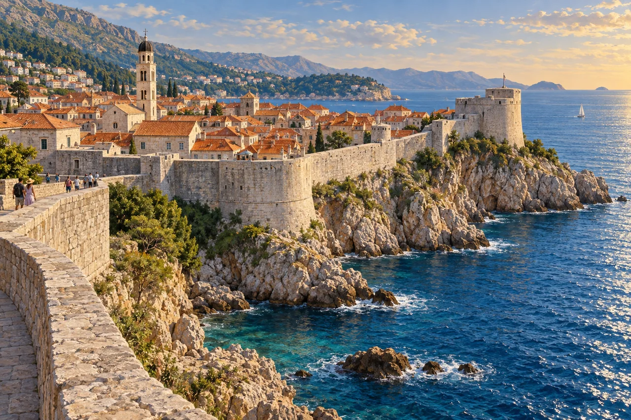
myAudience · original generated illustration · Original generated illustration; interpreted setting, not documentary evidence, current conditions or an authenticated viewpoint.
Dubrovnik's walls and roofs make a memorable coastal composition, but a familiar skyline can hide the city's history of damage and repair. The historic centre belongs to a maritime city rather than an untouched medieval stage. Looking at its buildings means asking how different periods, uses and conservation decisions contribute to what can be seen today.
UNESCO describes Dubrovnik's importance as a Mediterranean maritime power from the thirteenth century onward and identifies Gothic, Renaissance and Baroque monuments. These styles introduce successive architectural choices, not one frozen era. Churches, monasteries, palaces and fountains served different institutions and needs. To explain a particular building, its form should be connected with records of its construction, patrons and later changes.
The earthquake of 1667 and damage during armed conflict in the 1990s are essential to the heritage account. Restoration followed, so continuity of the city's appearance does not mean every visible surface survived unchanged. This distinction makes repair part of the story rather than an embarrassment to hide. An accurate account can ask what material remained, what was replaced and how evidence guided the work.
Our interpreted coastal view connects thick walls, tiled roofs and the open sea. Compare the enclosed urban area with the surrounding water and consider what a plan might show about gates and routes. The illustration cannot identify every repaired roof, establish an exact defensive field of view or reconstruct a particular historical attack. Its composition introduces relationships, while the details of conservation and military history require more precise evidence.
The city remains a place of homes and work beyond its familiar visitor image. Give residents and working routes space, and avoid treating everyday streets as a stage set. Learning can include the practical pressures on a historic centre as well as its architectural achievement. Current local information is needed for arrangements; an appealing picture does not guarantee conditions or access. A thoughtful visit can appreciate the coast while noticing the labour and decisions that maintain an inherited city.
Image: illustration, not a documentary photograph.
Further reading
Dubrovnik's walls draw an unmistakable boundary between a compact city and the sea. Within that boundary, roofs, towers and narrow passages belong to a settlement that depended on connections beyond it. The apparent contradiction is useful: a fortified trading city needed protection while also keeping people, goods and information moving. Looking from a wall towards the waterfront therefore opens two questions at once. How did the enclosure shape everyday urban space, and what practical services allowed a crowded community to remain inside it?
UNESCO connects Dubrovnik's historical importance with Mediterranean maritime power from the thirteenth century. Its surviving churches, monasteries, palaces and fountains record several architectural periods, including Gothic, Renaissance and Baroque work. The earthquake of 1667 caused substantial damage; conflict in the 1990s led to another major programme of restoration. These interruptions are part of the city's history, not blemishes that should be removed from its explanation. An old city can preserve continuity through repairs and replacement, while its buildings no longer all retain the fabric of one undisturbed moment.
A defensive boundary must still admit passage. Gates concentrate entry into selected locations, making movement easier to observe but potentially creating congestion. Streets then distribute that movement among public places and private interiors. This general reading of a fortified plan helps explain why an enclosure and its internal network need to be considered together. A wall seen from outside cannot tell us how supplies were stored or which streets carried particular trades. Those questions require plans, records and archaeological evidence rather than assumptions based on the thickness of visible masonry.
The tourist board's account of the large Onofrio fountain connects it with the completion of a public water supply in 1438. Onofrio della Cava designed fountains at opposite ends of Placa, and spring water was brought from Rijeka Dubrovačka. The named source links a visible monument to infrastructure outside the walls. A fountain was not only decoration: it provided a place where a distributed resource became accessible. Its carved outlets gave a practical service a public architectural form, joining ordinary use to the city's presentation of civic achievement.
Water supply has several separate jobs. Collection obtains water; conveyance moves it; storage can help manage demand; outlets deliver it where people can use it. None of these functions automatically solves the others. A beautifully carved fountain can distribute only what the upstream system provides, and a distant source is of little use without a maintained connection. This is an original systems explanation, not a reconstruction of the medieval network's full dimensions. Thinking through its components helps reveal the working city concealed behind the attractive object most visitors notice first.
A fictional outlet flowing at twenty litres a minute delivers 2,400 litres over two hours if its rate stays constant. If four identical outlets draw from the same finite supply, their combined demand is eighty litres a minute. These assumptions illustrate why counting outlets does not establish a source's capacity. The tourist board also notes earthquake damage and later changes to the fountain's upper form. Conservation thus concerns both visible design and continuing function: retaining water access, recording repairs and distinguishing reconstructed elements are related but different decisions.
The illustration follows a wall above rock and water, with close roofs behind it and higher ground beyond. That composition supports a discussion of enclosure and setting; it does not show the Onofrio fountain or authenticate a measured defensive plan. The tower silhouettes, stone joints and shoreline are rendered features rather than dated archaeological evidence. At the smallest scale, the strong wall-and-sea relationship remains clear while masonry detail disappears. Let the scene introduce the city's spatial problem, then use sources to investigate the buildings and systems that the view cannot explain.
Check: A fictional fountain has four outlets, each delivering twenty litres a minute. What volume is demanded over two hours, and can that figure demonstrate the medieval supply's capacity? Answer: Four outlets demand eighty litres a minute; two hours is 120 minutes, giving 9,600 litres. One outlet would deliver 2,400 litres. The result depends on the invented constant rates and says nothing about Dubrovnik's measured historical source yield, storage or losses. Public outlets, upstream conveyance and available supply must be examined separately before drawing conclusions about the capacity of an actual network.