Mont-Saint-Michel: reading architecture with the bay
By Places and their stories · myAudience
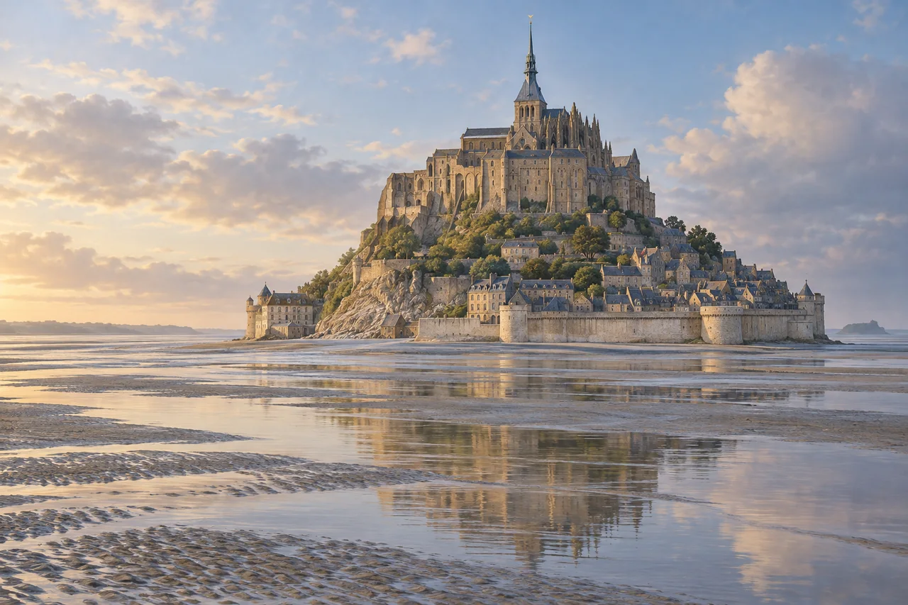
myAudience · original generated illustration · Original generated illustration; interpreted setting, not documentary evidence, current conditions or an authenticated viewpoint.
Mont-Saint-Michel's silhouette makes most sense when the surrounding bay remains in the picture. Abbey buildings and a village rise around a rocky islet, while sandbanks and water give the setting its changing appearance. Architecture and landscape are closely related here. A distant view can begin the story, but it cannot reveal every route, foundation or change in the bay.
UNESCO describes the abbey's major building phases from the eleventh to the sixteenth centuries, with Romanesque and Gothic elements responding to a restricted rocky site. Different rooms and levels had to work within that setting. The relationship between a compact footprint and stacked buildings invites questions about construction and use. It does not mean the whole ensemble was designed or completed in one campaign.
The village and abbey also have histories of alteration and restoration. The prominent spire includes a nineteenth-century contribution, recorded by UNESCO as 1897, rather than being entirely medieval fabric. Recognising a later addition does not make a heritage place less interesting. It allows the familiar silhouette to become evidence of changing ideas about repair, presentation and the image of the monument.
In our interpreted bay scene, compare the rock, lower houses and rising abbey mass with the broad horizontal sands. What does the contrast contribute to the composition? The image does not establish a tide time, safe route or current causeway condition. Nor can its invented stonework prove how a vault transfers load. Those questions need current guidance or technical records, depending on what you are trying to understand.
The bay is subject to powerful tides, so a beautiful open expanse should never be read as permission to cross it independently. Follow current official arrangements and local guidance for an actual visit. Respect protected areas and the everyday needs of the settlement. The reading introduces medieval religious architecture and later conservation without treating traditional beliefs as verified supernatural events. A fuller account can appreciate the striking view while keeping its environmental setting, historical layers and limits of visual evidence together.
Image: illustration, not a documentary photograph.
Further reading
The first puzzle at Mont-Saint-Michel is vertical. Houses gather around the lower slopes while the abbey rises above them, its walls apparently growing out of the rock. A broad strip of wet sand and water surrounds this compact settlement. These are connected features of one place: the rock offered a foundation, the bay shaped approaches, and successive builders fitted different purposes into restricted space. Looking upwards through the scene leads from everyday settlement to a religious institution, but looking outwards reveals the equally important landscape around it.
UNESCO places the abbey and its bay together in the heritage property. The Benedictine foundation dates to 966, while surviving buildings belong to several later campaigns. Notre-Dame-sous-terre preserves an early church beneath the present ensemble. The Romanesque church's crossing stands on the summit; builders therefore had to solve different support problems where construction extended beyond it. The Gothic Merveille added vertically arranged communal spaces, including a refectory and cloister above other rooms. This was an architectural response to a narrow site, rather than a large monastery simply moved from flat ground onto an island.
Imagine drawing a section instead of a postcard view. Mark the rock first, then the rooms, floors and supporting walls. A room's ceiling may help establish the level of a room above, while a passage must connect those levels without occupying the whole footprint. Load travels through supports towards foundations; circulation follows a different network of stairs and doors. Those two networks have to coexist. This general structural reading explains why vertical organisation matters here without pretending that a distant illustration reveals the dimensions, strength or present condition of every vault.
The Centre des monuments nationaux distinguishes the foundation story from documented changes. Aubert's dream of the archangel is a religious legend associated with the first sanctuary; Benedictine settlement, construction and later institutional uses have their own histories. The abbey became a centre for producing and studying manuscripts as well as receiving pilgrims. A monastery was thus a place of intellectual work, accommodation, worship and administration. Its significance cannot be reduced to an impressive church exterior: people, books and journeys connected it to places far beyond the bay.
The monument's appearance records interruption as well as ambition. The abbey's Romanesque choir collapsed in 1421 and was subsequently replaced in a Gothic form. Later, prison use altered rooms that had served monastic purposes. The prison closed in 1863; historic-monument protection and restoration helped preserve the ensemble. These changes show why the building should be read as a sequence rather than assigned one construction date. A later spire can be part of the familiar silhouette without belonging to the first foundation, and an older room can survive while its function changes substantially.
The bay adds a changing boundary to the story. Water levels and sediment movement influence whether the rock reads visually as an island, while access structures can alter local flows. UNESCO records that the nineteenth-century causeway contributed to loss of the maritime character and that the French state's works completed in 2015 sought to restore it. The lesson is broader than removing one obstacle: infrastructure can change the setting of a monument without touching its walls. Understanding a conservation project therefore requires following the water and sediment around a place as well as inspecting masonry within it.
The image brings this relationship into view through reflection. The tower gives a clear vertical landmark, while pools and exposed flats spread horizontally across the foreground. Trace the progression from rock to village to abbey, then compare it with the open bay. This is an illustration, not a tide chart or architectural survey. Its convincing light does not establish a safe crossing, a present water level or the exact state of a restoration campaign. It serves as a visual introduction to documented construction, changing use and landscape management.
Check: A fictional guide labels every visible part 'built in 966' and argues that restoring walls alone restores the site's whole character. Evaluate both claims. Answer: The date concerns the Benedictine foundation, not all surviving construction. Separate the early church, Romanesque work, Gothic additions and later restoration using records and physical evidence. The second claim also omits the bay: altered flows, sediment and access can change the setting while walls remain intact. A sound account combines the building's sequence of forms and uses with the surrounding landscape, without treating the illustration as proof of any particular present condition.