Ngorongoro: a landscape with more than one timescale
By Places and their stories · myAudience
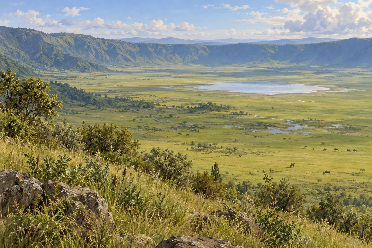
myAudience · original generated illustration · Original generated illustration; interpreted setting, not documentary evidence, current conditions or an authenticated viewpoint.
Ngorongoro invites attention to several kinds of time. A broad volcanic depression introduces geological processes; grasslands and forests raise ecological questions; archaeological evidence reveals a much longer human story than a modern visitor itinerary. These accounts overlap in one conservation area, but they are not interchangeable. A dramatic view becomes more informative when each timescale is connected with the evidence that can actually explain it.
UNESCO describes the area as including the Ngorongoro caldera, varied habitats, Olduvai Gorge and Laetoli. A caldera is a large volcanic collapse depression: the US Geological Survey explains how withdrawal of magma can reduce support beneath overlying rock. That general mechanism helps distinguish a caldera from simply calling every bowl-shaped feature an explosion hole. Reconstructing Ngorongoro's particular formation would require its own dated geological evidence.
The archaeological significance is separate from the scenic appeal. Laetoli's fossil footprints provide evidence relevant to early hominin bipedalism, while Olduvai preserves a long sequence of fossils and tools. A footprint can reveal aspects of movement without identifying a person's intentions or supplying a complete family story. The area also has Maasai pastoral histories; describing conservation as uncomplicated coexistence would conceal questions about land, rights and changing decisions.
Our interpreted view looks over a broad grassy basin enclosed by a high rim, with a small lake-like water body and distant grazing animals. Compare the horizontal floor with the enclosing slopes. A map could clarify scale; geological sections and dated deposits could help test explanations of formation. The image does not reproduce fossils, locate an archaeological trench or certify the species and abundance of animals present today.
A fuller reading of the area should include community perspectives alongside geological, ecological and archaeological research. Do not treat residents as scenery or assume a heritage designation resolves contested choices. Follow current official arrangements and wildlife guidance for an actual visit. This introduction makes no promise of access or sightings. Its purpose is to connect an impressive landscape with distinct lines of inquiry, showing how different evidence can deepen understanding without forcing every story into the same timescale.
Image: illustration, not a documentary photograph.
Further reading
Ngorongoro's high rim frames a wide floor of grass, water and scattered animal forms. The apparent enclosure makes the scene easy to read as one complete world, but the conservation area's history extends beyond that basin. Geological change, connected habitats, archaeological deposits and human livelihoods occupy different scales. Following them separately helps avoid a misleading picture of timeless wildlife surrounded by an empty wall. A useful reading begins with the landform, then asks what the boundaries of the view conceal about movement, evidence and the people connected to this landscape.
The Ngorongoro-Lengai Geopark's public geological account connects the highlands to rifting and volcanic activity, followed by inward collapse forming the Ngorongoro caldera and neighbouring basins. A caldera is a collapse structure within a volcanic setting, rather than a depression made by a meteorite impact. The distinction explains why a ring-like outline alone cannot reveal a landform's origin. Rock relationships and geological records establish the process. The broad rendered rim introduces that question, while no coloured patch in the illustration is treated as a mapped eruption deposit.
A general collapse model can be drawn as a sequence. Start with an area of volcanic construction, show changes in the supporting magmatic system and then mark inward subsidence and later modification. This is a simplified explanatory model rather than a complete reconstruction of Ngorongoro's detailed eruption history. Erosion, drainage and sediment accumulation continue after collapse; the basin does not remain frozen at the instant it forms. Separating formation from later change makes the surrounding slopes and present floor more intelligible than calling the whole landscape the product of a single event.
UNESCO describes the larger conservation area as a combination of highland plains, forests, woodlands and savannas, with archaeological evidence at Olduvai and Laetoli. It also records the area's 1959 establishment for multiple land use associated with wildlife and Maasai pastoralism. This is historical context, not a certification that present land policy or community relationships are harmonious. A responsible conservation account must take residents' rights, livelihood needs and participation seriously alongside habitats. A boundary on a visitor map does not resolve those questions or make people incidental to the landscape's history.
Habitat variety changes how a basin is used. Water, grazing, shade and shelter are different resources, and each varies across space and time. A small area with permanent water can attract animals from a larger surrounding area without producing all their food. The general mechanism helps explain why density at one location is not a full account of ecological support. Monitoring needs to consider movement, weather, vegetation and sampling. Counting the animal-like forms in the illustration would be especially uninformative: they are composition details rather than a field survey.
Archaeology extends the account across a much longer timescale. UNESCO identifies Laetoli's fossil footprints and Olduvai's sequences of hominin remains and technology as important evidence. A footprint preserves a particular trace of movement; it does not alone reveal every feature of the maker's life. Fossils, tools and the sediments surrounding them contribute different information. Treating their contexts as connected records is stronger than declaring one discovery the complete origin story of humanity. Scientific interpretations can develop as additional material is studied, while a scenic panorama cannot settle a debated archaeological question.
The illustration shows a continuous-looking rim, grassy floor, a pale water body and distant animal-like forms. It introduces a basin and habitat contrasts, not a surveyed map, species census or authenticated geological section. The smallest variant keeps the rim-and-floor relationship while fine animal anatomy disappears. It does not show Laetoli footprints, an Olduvai excavation or the perspectives of local residents. Those subjects need their own records and voices. The image supplies an accessible starting point for several linked investigations rather than pretending that one view contains all their evidence.
Check: A guide says the circular rim proves a meteorite impact and that all wildlife inside the basin lives independently of the wider landscape. What should change? Answer: Ngorongoro is a volcanic caldera associated with inward collapse; outline alone cannot identify origin. Habitats and resources vary, and ecological relationships extend beyond a single framed basin. The larger area also carries archaeological evidence and human histories not visible in the scene. An accurate explanation distinguishes geological formation, current resource use and conservation decisions instead of deriving them all from a panoramic shape or treating an apparent enclosure as complete isolation.