Mauritius at Le Morne: looking beyond the beach
By Places and their stories · myAudience
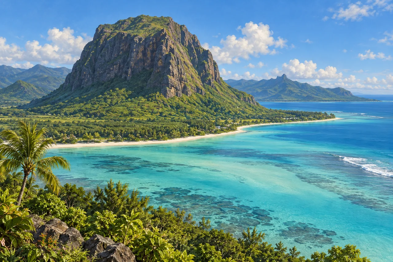
myAudience · original generated illustration · Original generated illustration; interpreted setting, not documentary evidence, current conditions or an authenticated viewpoint.
Le Morne's steep mountain and coastal setting are striking, but the landscape's meaning cannot be reduced to an attractive beach. In Mauritius, places of exceptional beauty can also hold difficult histories and living memories. Looking at the mountain with that in mind changes the question from what a visitor can enjoy to what the place helps people remember, investigate and pass on.
UNESCO connects Le Morne with maroonage: resistance to slavery through escape, with physical and oral evidence of the mountain's use as shelter. It identifies the landscape as a symbol of struggles for freedom. Oral traditions are important historical and cultural evidence, but a dramatic story should not automatically be presented as a fully documented event. Distinguishing kinds of evidence allows memory to be respected without inventing certainty.
A different heritage site, Aapravasi Ghat in Port Louis, preserves remains associated with the nineteenth-century immigration depot and indentured labour. It helps explain migration connected with the island's sugar estates and wider colonial labour systems. Indenture and slavery were distinct systems, and the word free in a colonial account does not by itself establish fair conditions. The two places offer related questions about power, movement and people's agency without becoming one identical story.
Our interpreted image keeps Le Morne's wooded slopes and steep rock above coastal water, without staging an escape or depicting historical individuals. Compare the broad shoreline with the abrupt mountain form. The picture cannot locate former shelters, authenticate an oral account or establish a safe climbing route. A landscape illustration can invite attention while the histories attached to it remain grounded in identified sources and community perspectives.
Appreciating Mauritius can include learning about resistance, migration and cultural life alongside its coast. Give memorial settings and residents' everyday spaces the care they deserve, and consult current local arrangements rather than assuming every visible landscape is freely accessible. This reading offers no current trail, swimming or environmental-condition assurances. The mountain's beauty becomes more meaningful when it leads toward the people and memories connected with it, rather than making those histories disappear behind a holiday image.
Image: illustration, not a documentary photograph.
Further reading
Le Morne's steep mountain rises above the coast of southwestern Mauritius. The contrast between dark rock, vegetation and bright shallow water makes an inviting image, but this landscape carries a history that should accompany its beauty. People escaping enslavement used its difficult terrain as refuge. The mountain became a place of memory as well as shelter. Understanding that relationship means asking how a physical setting can assist resistance and how later communities preserve the meaning of lives that an attractive coastal view cannot show by itself.
UNESCO identifies Le Morne as evidence of maroonage, the resistance of people who escaped slavery and established refuge beyond the control of enslavers. Its steep, wooded terrain helped protect small settlements during the eighteenth and early nineteenth centuries. This is a specific history, rather than a general claim that remote mountains are always safe. Difficult access can impede pursuers while also making water, food and communication harder for those seeking refuge. Landscape shapes opportunities and constraints together; people organise survival within them rather than being passively determined by geography.
A map of refuge would need more than contours. Routes, water access, vegetation and places to shelter matter, but so do relationships among people and the risk of being discovered. A place hard to reach from one direction may remain accessible from another. These are general questions for interpreting a defensive landscape, not a reconstruction of undocumented escape routes. Reading a mountain through such questions helps explain why its meaning extends beyond height. A terrain model can illuminate practical constraints without identifying the decisions of particular people whose experiences require historical evidence.
The UNESCO Memory of the World collection for Mauritius includes records of slavery, maroonage, abolition, apprenticeship and life after emancipation between 1721 and 1892. Slavery was abolished in Mauritius in 1835. The inclusion of later records matters: a legal change did not end the need to study labour conditions and people's experiences. Administrative documents can establish events and institutions, yet their categories often reflect the officials who created them. Historians compare records with other evidence and ask whose actions were described, whose voice survives and whose perspective is missing.
Oral traditions are central to the mountain's public significance. They connect the struggle for freedom with shared memory among Mauritian communities and with wider Indian Ocean histories. A tradition can be important evidence of remembrance without every dramatic episode being established as a documented event. This reading therefore does not retell the famous mass-leap story as verified history. Respectful interpretation neither erases oral accounts nor silently changes their evidential status. It explains what a story means to people while keeping separate the question of what independent records can establish.
A cultural landscape extends beyond an isolated monument. UNESCO notes that Le Morne's associations reach into its foothills and coast, making the relationship between mountain and surrounding development important. A visually preserved summit could still lose parts of its setting if approach routes or coastal land changed substantially. This is a general conservation problem: the protected object and the experience or history that gives it meaning may have different boundaries. Planning has to consider that wider relationship rather than treating an official line on a map as the end of all responsibility.
The illustration shows the mountain's steep profile against a coastal strip, palms and shallow-water colour bands. Its broad geography is useful for thinking about refuge and setting; it does not reveal an authenticated settlement, cave route or archaeological find. Dark underwater patches are rendered forms, not a species survey or a measured map of reef condition. The image should invite attention to both the striking landscape and its human history. It cannot replace the communities, documentary collections and archaeological work through which that history is understood.
Check: An exhibition label says the mountain's dramatic silhouette proves a particular escape story occurred exactly as retold. Another says legal abolition in 1835 makes later labour records irrelevant. Explain both errors. Answer: A silhouette can suggest difficult terrain but cannot verify a specific event; oral tradition, archaeological evidence and documentary records address different questions. Abolition changed legal status, while apprenticeship and post-emancipation records help explain what followed. Respect for memory does not require treating every narrative detail as independently proven, and recognising a legal milestone does not mean people's conditions changed fully at that instant.