Galle: where a street plan meets the coast
By Places and their stories · myAudience
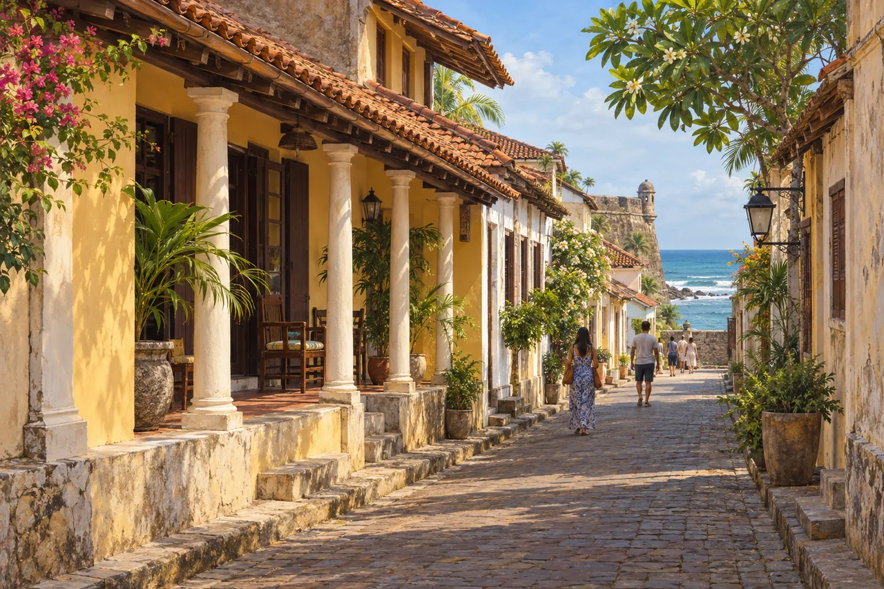
myAudience · original generated illustration · Original generated illustration; interpreted setting, not documentary evidence, current conditions or an authenticated viewpoint.
Galle's fortified old town sits on a rocky promontory on Sri Lanka's southwest coast. Its walls and shaded streets can be read together rather than as separate attractions. The coastal setting shaped defence, while houses and courtyards reveal a different scale of everyday life. Comparing those scales helps explain why a fortified settlement is more than a diagram of military engineering.
UNESCO connects the fortified town with Portuguese activity in the sixteenth century and later Dutch colonial development. Its account describes a street grid alongside ramparts that respond to the shape of the rocky promontory. A planning tradition was therefore adapted to a particular site. A wall that follows an irregular coastline should not be mistaken for a perfectly regular geometric scheme imported unchanged from somewhere else.
Narrow house fronts, shaded verandas, overhanging roofs and internal courtyards are important parts of the heritage description. UNESCO emphasises local craftspeople adapting architectural models to Sri Lankan conditions. This gives regional skill and knowledge a place in the story, rather than crediting everything to colonial rulers. Understanding a building involves asking who made it, what materials were available and how its spaces were used.
Our interpreted street foregrounds verandas and repeated supports, with a glimpse of the rampart and sea beyond. Compare the shaded edge with the exposed coastal wall. What questions about ventilation, movement or defence could a plan and material survey help answer? The picture cannot prove a specific thermal performance, reproduce a drainage system or establish the age of every roof. It introduces relationships without presenting invented details as an engineering record.
Colonial architecture belongs within histories of unequal power as well as histories of construction and adaptation. A pleasant street does not remove those questions. The old town also remains a place where people live and work, so give entrances and ordinary routes space. Consult current local arrangements rather than relying on an illustration for access. Looking beyond a familiar coastal skyline can make Galle's craft, domestic spaces and changing uses as interesting as its defensive outline.
Image: illustration, not a documentary photograph.
Further reading
Galle's coastal enclosure contains streets where deep roof edges and verandas make a strong impression before a viewer reaches the ramparts. Those domestic details are part of its historical significance, not merely a pleasant foreground for military walls. The old town combines a European colonial planning framework with South Asian building traditions and the particular terrain of a rocky promontory. Reading it through roofs, plots and coastline shows how a plan is adapted in practice by craftspeople and residents, rather than transferred unchanged from one place to another.
UNESCO places the Portuguese fortified town in the sixteenth century and associates its greatest later development with Dutch colonial rule in the eighteenth century. Its account connects a gridded division of plots with houses whose narrow sides face the streets, shaded verandas and interior courtyards. These features show several scales of adaptation: the town's organisation, the shape of a plot and the treatment of a room or threshold. The label colonial should not erase local construction knowledge, labour or the South Asian traditions that helped give the settlement its distinctive form.
A veranda creates a space between street and enclosed room. An overhanging roof can shade the facade and offer shelter while columns keep much of the edge open. An interior courtyard brings another kind of open space deeper into a plot. These general architectural observations explain why roof, opening and court should be considered together. They do not guarantee a particular indoor temperature: orientation, materials, ventilation and use all influence performance. A plan and section can expose relationships that an attractive street view conceals, especially where houses extend farther inward than their facades suggest.
The ramparts respond to the site's rock outcrops rather than conforming exactly to an ideal European geometric outline. UNESCO links the bastions' strategic placement to this adaptation. A bastion is a projecting defensive element, but its usefulness depends on adjacent walls, terrain and approaches. The important comparison is therefore between intended function and actual conditions. A diagram with a promontory first and defensive works second makes that relationship clear, avoiding the idea that every bend is an error or that the most regular plan must always be the best one.
The Galle Heritage Foundation identifies the Black Fort, or Zwart Bastion, as an early surviving element originating under the Portuguese and developed by the Dutch after 1640. Its account describes workshops on an upper terrace, a powder magazine beneath and a connection to a lower terrace. This gives a more concrete view of a fortified place as a working arrangement of spaces. Weapons required supplies, craft and storage as well as positions from which to operate; the supporting activities belong in the explanation of the monument's function.
Separating a workshop from stored powder illustrates a general design problem: activities that generate heat or sparks need careful relationships with sensitive materials. The historical source's terrace arrangement invites such questions but does not prove the installation met modern standards or provide a full safety assessment. It also offers more than one explanation of the Black Fort's name, so no uncertain etymology is treated here as settled fact. A strong account can describe the documented spaces while leaving an ambiguous naming story open to further investigation.
The illustration emphasises a row of verandas, roof overhangs, columns and a street opening towards the coast. It is Galle-inspired rather than a certified view of one named lane or bastion. The visible columns and shadows help introduce threshold space; they cannot date the houses or establish their actual thermal performance. At thumbnail size the shade-and-street relationship remains visible while small joints and furnishings do not. The scene supports a study of adapted urban form, with plans and historical records needed for precise claims about individual structures.
Check: A guide calls the irregular rampart outline a failed attempt at a perfect European fortress and says shaded verandas prove all interiors stay cool. What is missing? Answer: The ramparts were adapted to the promontory's existing rock and approaches, so regularity alone is not a measure of effective design. Verandas can shade and shelter, but indoor conditions also depend on orientation, airflow, materials and occupation. Both claims substitute a simple visual rule for investigation. Galle is better understood through the relationships among terrain, planning and local building practices than through an ideal outline or one cooling feature.