Samarkand: looking beyond the tiled facade
By Places and their stories · myAudience
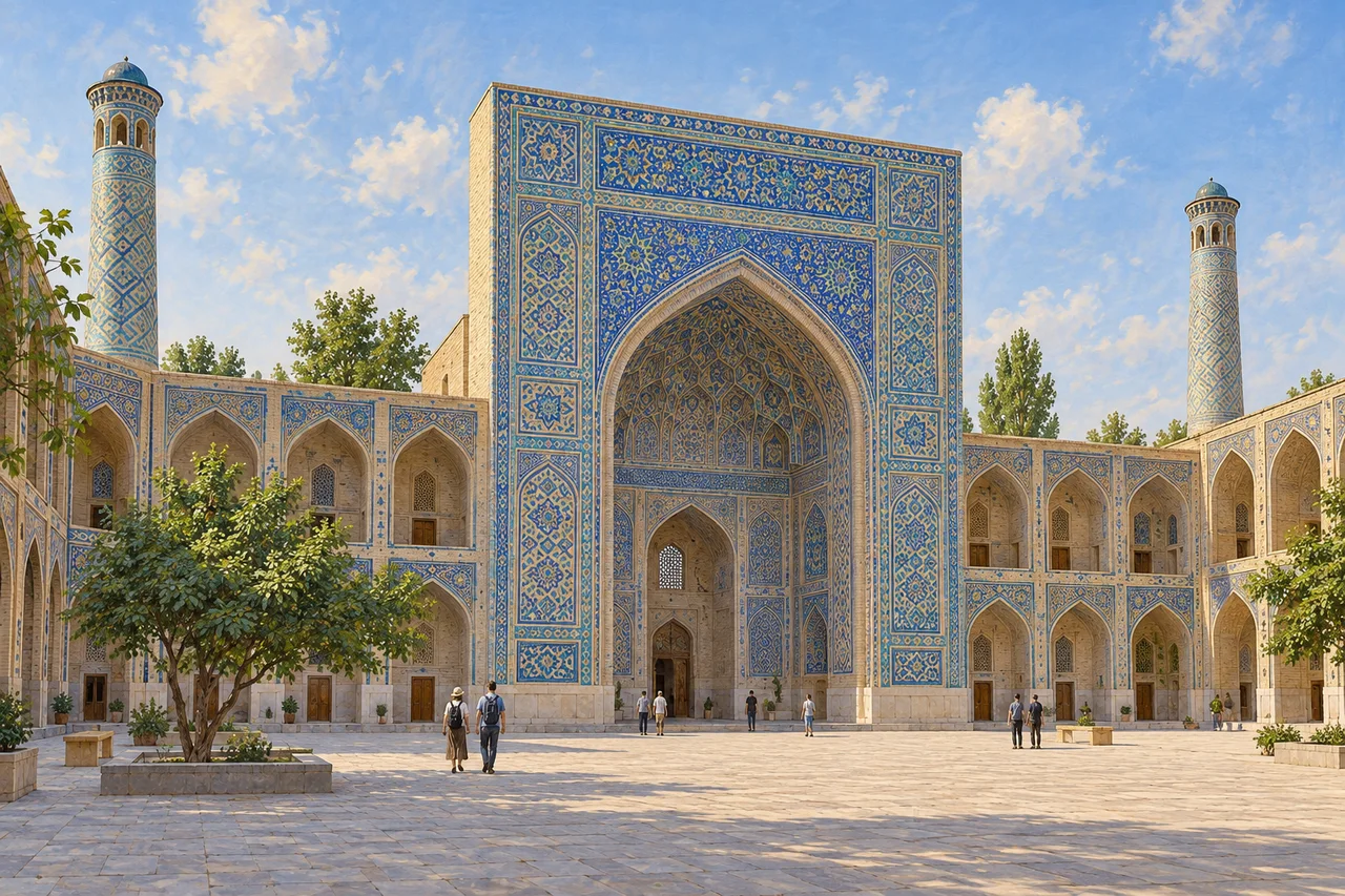
myAudience · original generated illustration · Original generated illustration; interpreted setting, not documentary evidence, current conditions or an authenticated viewpoint.
Samarkand's decorated monumental architecture makes a striking introduction, but the historic city contains more than one period and more than one kind of space. Archaeological remains, monumental ensembles and courtyard houses tell different stories. A tiled facade can draw the eye toward the past; connecting it with the surrounding urban fabric turns that first impression into a more useful question about how a city grows and changes.
UNESCO distinguishes the ancient Afrosiab archaeological area, the city's major Timurid development and later expansion to the west. It locates Samarkand in an oasis in the Zerafshan valley. This layered account is more informative than treating every visible building as a single surviving Silk Road scene. Dates and boundaries matter when comparing a buried settlement with an architectural ensemble built in a later urban area.
The heritage description identifies Registan's madrasas, major mausoleum ensembles and the remains of Ulugh-Bek's observatory. It also describes traditional houses arranged around courtyards. Learning institutions, burial places, scientific observation and domestic life therefore need distinct explanations. Ornamental similarity does not make their functions identical, and a general introduction should not assign every Registan building to the same construction century.
Our interpreted tiled courtyard emphasises a tall arched portal, repeated smaller bays and the open space between them. Compare their proportions and think about what a plan might reveal about rooms behind the facade. The image cannot authenticate inscriptions, reconstruct teaching in a particular madrasa or demonstrate how an observatory measured the sky. Decorative pattern offers a visual hook; historical and technical interpretation needs identified records.
Exchange between regions helped shape the city's architecture and arts, but cultural contact should not be turned into a claim of uncomplicated harmony across every period. A fuller history needs people, institutions and changing political relationships as well as monuments. Respect worship spaces, homes and conservation boundaries, and use current official arrangements for a visit. This reading introduces Samarkand's layered urban setting without claiming that a single picture contains the whole city or guarantees its present condition.
Image: illustration, not a documentary photograph.
Further reading
Samarkand's patterned facades invite a close look, but the city's historical shape is just as revealing as its decorated surfaces. Ancient Afrosiab, the Timurid city and later expansion occupy neighbouring areas rather than forming one uniform layer. A journey across them therefore crosses different political and architectural histories. The Registan is an especially powerful introduction to monumental composition. To understand the whole place, connect its grand entrances to residential streets, courtyard houses and the intellectual work associated with Ulugh Beg's observatory.
UNESCO locates Samarkand in the Zerafshan valley oasis and distinguishes three historic sections. Afrosiab preserves an archaeological city; the southern Timurid area contains monumental ensembles and residential fabric; the western expansion records nineteenth- and twentieth-century Russian development. This arrangement is a useful warning against reading a city solely as an excavation with younger material stacked above older material. Growth can occur sideways. A map recording different districts can explain change that a single photograph of a famous facade cannot show.
The Registan's civic role also changed. Uzbekistan's official tourism account describes it as a trading area under Timur and associates a more official character with Ulugh Beg. A square is a space of encounter as well as a frame for buildings: entrances face shared ground, allowing several institutions to participate in one composition. Monumental scale can help establish public importance. These observations explain how architecture organises attention without claiming that every surviving building around the square dates from either ruler's own lifetime or that present uses reproduce historical ones exactly.
The observatory adds a different kind of monument. The official account describes a large meridian-oriented angle-measuring instrument and work on stellar coordinates before telescopic observation. Measuring a star's position requires a defined reference, a readable scale and repeated observations. A larger scale can spread small angular differences over a greater physical distance, making divisions easier to distinguish. It cannot eliminate atmospheric effects, alignment errors or human mistakes. Instrument design and disciplined recording must work together; size alone does not make a measurement correct.
For an ideal geometric model, arc length equals radius multiplied by an angle in radians. Increasing an instrument's radius while keeping the angular interval fixed increases the space between scale marks. That relationship explains the attraction of large fixed instruments without assuming an exact radius or precision for Samarkand's surviving remains. Comparing observations also demands consistent definitions of time and direction. The observatory's importance belongs to a network of astronomers and recorded calculations, rather than a solitary ruler looking at the sky without collaborators or inherited mathematical knowledge.
Residential Samarkand belongs in the account too. UNESCO describes houses arranged around garden courtyards, with mud-brick construction and decorated wooden interiors. An inward-facing court offers a different spatial experience from a monumental square: it gathers domestic rooms around protected open space. Neither form represents the whole society. Conservation must consider the ordinary street network as well as famous ensembles because removing residential fabric can change how buildings relate to daily life. A city that remains inhabited needs adaptation, yet adaptation can also erase evidence of its earlier organisation.
The illustration places a tiled entrance opposite an open court, with smaller bays and tall cylindrical forms framing it. Compare the broad blue patterned fields with the light masonry and the human figures for relative visual scale. These are useful compositional clues; the rendering is not an exact survey of a named madrasa, an inscription transcript or a catalogue of original tilework. Its ornamental detail should introduce questions about craft and proportion, while verified records identify particular buildings, dates and restoration histories.
Check: Two fictional angle scales have radii of ten and twenty metres. For the same one-degree interval, use pi approximately 3.1416 to compare their arc lengths. Does the longer arc prove twice the observational accuracy? Answer: One degree is pi divided by 180 radians. The arcs are approximately 0.1745 and 0.3491 metres, so doubling the radius doubles mark spacing. It does not prove doubled accuracy: alignment, weather, calibration and reading error still matter. This is an ideal geometry example explaining large instruments, not a measurement or performance claim about Ulugh Beg's observatory.