Antigua Guatemala: a city shaped by rebuilding
By Places and their stories · myAudience
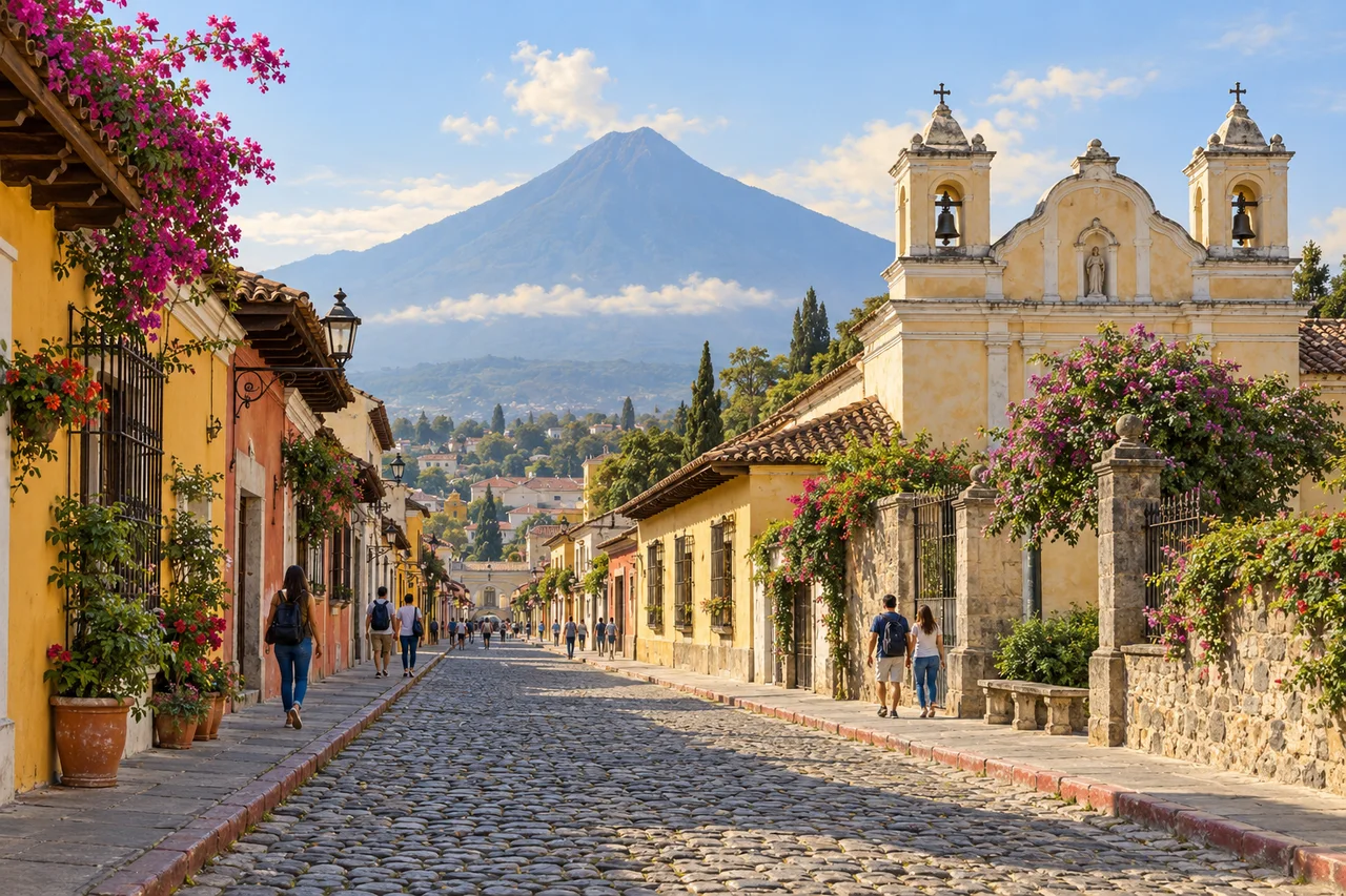
myAudience · original generated illustration · Original generated illustration; interpreted setting, not documentary evidence, current conditions or an authenticated viewpoint.
Antigua Guatemala's low roofs, coloured walls and open courtyards reward a closer look than the familiar image of a colonial town beneath a volcano. The city records choices about planning, repair and continued use. A street can retain its alignment while the structures beside it change. That distinction helps explain how a place can have a recognisable historic form without being an untouched survivor of one moment.
UNESCO distinguishes successive locations of the colonial capital and dates the present city's grid to 1543. The Santa Marta earthquakes of 1773 damaged much of the town and led authorities to relocate the capital, but some residents remained. This sequence avoids a common confusion: a date associated with an earlier settlement is not automatically the construction date of the streets and buildings in the present location.
The heritage account describes Barroco antigueño, a regional architectural adaptation with decorative stucco, substantial buildings and relatively low bell towers. These forms reflect responses to local circumstances, but they should not be called earthquake-proof. Later repairs and new buildings complicate what can be read from a facade. Dating a structure requires more than deciding that its ornament looks colonial.
Our interpreted street places low masonry buildings and a modest ornate facade against a distant volcanic silhouette. Compare the repeated street edge with the more elaborate doorway. What might a plan reveal about the relationship between a house, courtyard and public route? The illustration cannot authenticate a particular church or show the condition of its structure. It introduces architectural contrasts without reconstructing a specific earthquake or certifying a safe route.
A fuller history also asks who built and used these spaces and how colonial institutions affected different communities. The visual appeal of a town should not conceal those questions. Respect homes, working entrances and protected ruins, and consult current local arrangements for an actual visit. This reading offers no current hazard forecast or promise of access. It invites investigation of urban continuity through change, where retained layouts, altered buildings and residents' everyday lives all contribute to the story.
Image: illustration, not a documentary photograph.
Further reading
Antigua Guatemala's straight streets, low rooflines and elaborate church fronts bring a planned city into a dramatic mountain setting. The view is appealing, but its most useful question concerns continuity after damage. What remains of an earlier plan when buildings are ruined, repaired or replaced, and how can those changes be read honestly? A historic centre is not a single object preserved untouched. Streets, institutions, materials and continuing residence can each retain different parts of its history, while an attractive facade may reveal only one layer of that larger record.
UNESCO distinguishes several locations in the history of Santiago de Guatemala. The present Valley of Panchoy site was inaugurated in 1543; the Santa Marta earthquakes of 1773 later prompted relocation of the capital. Some residents remained, and the town acquired its Antigua name. This prevents a common chronological shortcut: the foundation of the earlier settlement should not be treated as the date of every surviving street or building. Changes of location and political function belong to the story, alongside the surviving monuments that make the present town distinctive.
A grid organises movement through repeated intersections and blocks. In a general plan, it can make routes easy to compare and help define plots, while actual terrain, existing structures and later alterations produce departures from perfect regularity. An intersection also joins public circulation with the edges of private property. Drawing only the street centre lines misses the depth of courtyards and the location of entrances. This original planning explanation helps a reader look beyond a pleasing perspective and ask how buildings occupy and adapt a framework that can outlast individual structures.
UNESCO identifies a regional Baroque form associated with decorative stucco, substantial buildings and relatively low bell towers adapted to an earthquake-prone setting. Many surviving buildings belong to the seventeenth and eighteenth centuries rather than the first years of the grid. The intention to respond to seismic conditions should not be confused with a guarantee that a building cannot fail. An architectural form expresses choices within particular knowledge, materials and resources. Its actual performance requires evidence about construction, condition and loading, not just admiration of its silhouette.
An earthquake can change both a building and the way a city uses it. Loss of a roof may turn an interior into an exposed ruin; loss of an institution can leave a surviving shell with a different role. Conservation then asks what to stabilise, what to reconstruct and what evidence a visitor should be able to read. These general distinctions explain why a ruin is not automatically a failed restoration project. Retaining an exposed state may preserve an important phase of a site's history, provided its materials and continuing risks receive appropriate attention.
A later building can adopt an older-looking vocabulary without being made of older fabric. UNESCO raises authenticity questions around new construction in the Antigua style and adaptation within ruins. This is not a reason to assume every restored house is false; it is a reason to document dates, materials and interventions separately. A consistent record makes comparison possible when a wall is repaired or a space changes function. It also connects architectural conservation to everyday use: maintaining an inhabited town is more complex than freezing a stage set for visitors.
The illustration shows a cobbled street, low tiled roofs, a church-like frontage, flowers and a high mountain beyond. It introduces the relationship between urban form and setting, but is not a certified view of a named church or a dated survey. Rendered decorative details cannot establish a building's construction phase or seismic condition. At the smallest size, the street and mountain relationship remains legible while surface fabric does not. Use the scene to ask how a plan persists through damage and rebuilding; records supply the particular chronology that a harmonious picture cannot prove.
Check: A label calls every building sixteenth-century because the street grid began then, and says low towers prove earthquake safety. How should it change? Answer: A street framework and the buildings occupying it can have different dates; surviving fabric, repairs and later construction need individual documentation. Low towers reflect adaptation to seismic conditions but do not establish the safety of every structure. Materials, connections, foundations, alterations and present condition matter. Antigua's history includes damage, capital relocation, continuing residence and conservation decisions, so neither a foundation date nor a familiar profile explains the whole city.