Ningaloo: the reef and the dry land belong together
By Places and their stories · myAudience
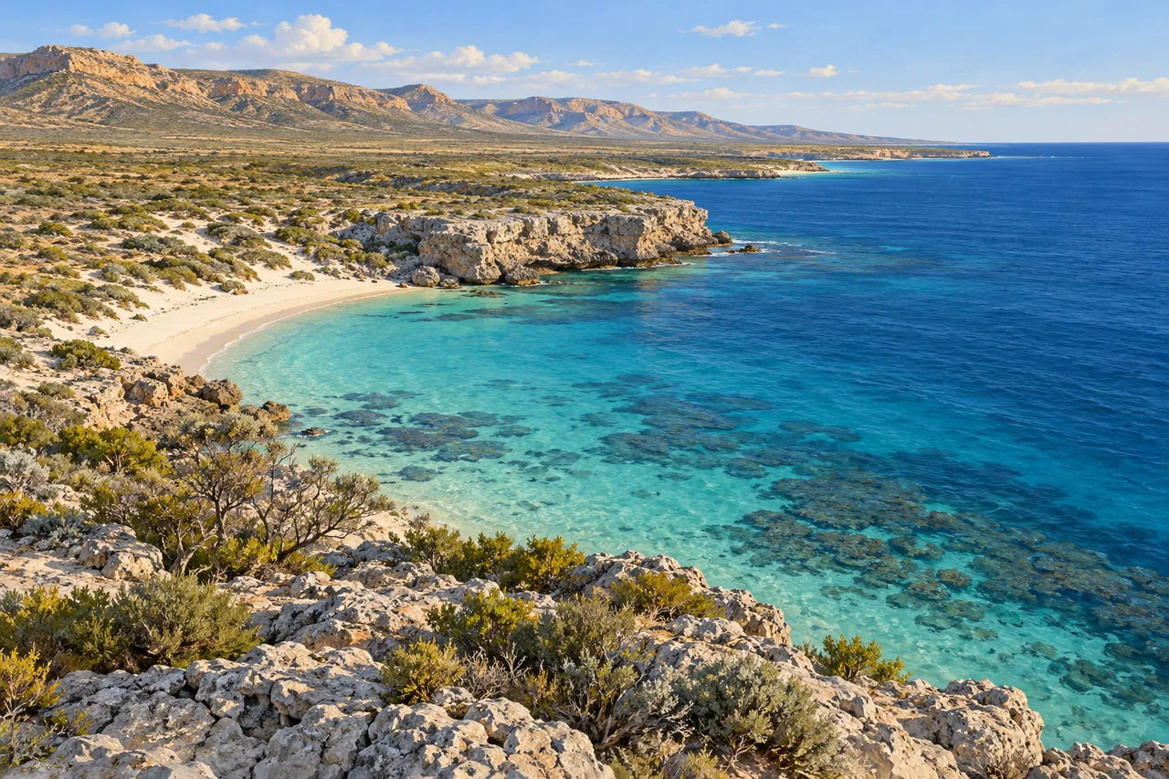
myAudience · original generated illustration · Original generated illustration; interpreted setting, not documentary evidence, current conditions or an authenticated viewpoint.
At Ningaloo, pale dry land sits close to an intensely coloured sea. The contrast makes an arresting image, but it also suggests a larger question: what connects the coastline, the water and the environments hidden beneath the land? Looking across that boundary reveals more than a beach and a reef. It introduces a place where marine habitats and a limestone landscape both contribute to the conservation story.
UNESCO describes a near-shore reef alongside the limestone karst of Cape Range. Karst includes caves and connected underground water systems formed through the interaction of water and soluble rock. Those hidden habitats support specialised species, giving the land a significance that is easy to miss in a coastal panorama. A bright seascape cannot display the underground network, and a cave entrance alone cannot reveal how that network connects.
The marine account distinguishes lagoon, reef and open ocean habitats and notes seasonal gatherings of whale sharks. A documented ecological pattern is different from a promise that a visitor will see an animal on a particular day. Likewise, figures recorded in a heritage account should not become a current wildlife census. Learning about the coast means asking how observations were gathered, when they were made and what part of the system they describe.
Our interpreted view shows an arid limestone shore, a shallow turquoise band and darker offshore water. Compare their colours, then ask what might produce the differences. Depth, the seabed and lighting can affect appearance, so colour alone cannot diagnose reef health or map coral distribution. The illustration does not reproduce a surveyed reef, document present bleaching conditions or authenticate a cave system. Its purpose is to make the land-and-sea relationship visible without inventing underwater evidence.
Care for Ningaloo includes attention to coastal vegetation, marine life and the Traditional Owners whose relationships with the region belong in its interpretation. Avoid disturbing wildlife or protected surfaces and follow current official arrangements for any visit. This reading gives no swimming route, encounter guarantee or assurance of reef condition. A fuller inquiry could compare habitat maps, dated monitoring and community perspectives. The beautiful boundary between dry land and water then becomes an invitation to understand a connected environment, including the parts a cover image cannot show.
Image: illustration, not a documentary photograph.
Further reading
Ningaloo joins a reef close to shore with an arid limestone landscape. Turquoise water against dry coastal ground makes the contrast immediately visible, but the most interesting connections also extend below the surface. Marine habitats meet groundwater passages, caves and specialised inland organisms. This is why the World Heritage area encompasses both land and sea. Reading the coast only as a place to see large animals misses the less conspicuous systems that support its diversity, while reading the dry land as empty misses its own ecological importance.
Western Australia's conservation department describes reef, lagoon, shelf and deep-ocean habitats near the Cape Range coast, alongside caves and subterranean water in limestone. The proximity of different settings creates several kinds of opportunity for life. A species suited to sheltered shallow water has different requirements from an animal using deeper water or a cave. A boundary on a conservation map therefore gathers linked habitats rather than declaring them interchangeable. The coastline's contrasting colours can introduce this idea, but habitat classification depends on actual environmental and biological evidence.
Limestone karst develops as water dissolves susceptible rock and travels through openings. Over time, connected passages can create hidden routes unlike a surface river's visible channel. This general geological mechanism explains why groundwater is important at Cape Range without claiming that the illustration reveals a cave map. Removing water or introducing pollution can affect underground conditions even where the surface seems unchanged. The conservation department identifies specialised cave fauna, including pale organisms lacking eyes. Adaptation to a dark habitat is meaningful ecological context, not a reason to invent a species identification from unseen animals.
Whale shark gatherings are associated with seasonal increases in productivity, including coral spawning and nutrient upwelling. The relationship is a useful example of food-web thinking: a physical or reproductive event can alter available food and attract mobile consumers. Association does not prove a single cause for every animal's arrival. Nor should an older estimate of the number of sharks become a current census. The important educational connection is between seasonal processes, resources and movement, with monitoring required to understand how that relationship changes over time.
The department also identifies the coast as habitat for nesting marine turtles and a migratory route for whales. These uses make different parts of the landscape important at different stages of an animal's life. A nesting beach and offshore feeding habitat are linked even though they look unlike each other. Disturbance at one stage can matter beyond the immediate scene. This general life-cycle perspective explains why conservation can include shore access, lighting, water quality and marine activity together, rather than concentrating entirely on what a swimmer sees above the reef.
Current resilience work asks how reef recovery can be supported through changing conditions. The conservation department's public page links adaptation to climate change and local threats; its older World Heritage description should not be read as a guarantee of today's coral health. Distinguish exposure, condition and recovery: warm water is a stressor, observed coral response is evidence of condition, and later recruitment or survival helps assess recovery. A clear turquoise image measures none of those. Repeated surveys with consistent methods are more useful than a confident judgement based on water colour.
The picture emphasises the arid coast, pale limestone, vegetation and shallow-to-deeper water contrast. It contains no verified whale shark sighting, coral health transect or subterranean organism. Broad land-sea relationships remain legible in the small variant, while underwater patches become increasingly ambiguous. This is a landscape illustration that introduces linked habitats. Using it as a diagnostic photograph would reverse its purpose: the sources explain what should be investigated, and real monitoring supplies observations that a composed scene cannot provide.
Check: A fictional reef survey changes from forty per cent live coral cover to thirty per cent using comparable methods. What is the percentage-point decrease and relative decrease, and does the result identify its cause? Answer: Cover declines by ten percentage points. Relative to the original forty, the decrease is ten divided by forty, or twenty-five per cent. Neither figure identifies the cause. Temperature, disturbance, disease, survey uncertainty and other evidence need examination. These invented values teach the distinction between measurements and explanations; they are not Ningaloo monitoring results or a claim about current reef condition.